
ଫାଇଲ:India Andhra Pradesh locator map (1956-2014).svg

Size of this PNG preview of this SVG file: ୫୪୩ × ୬୦୦ ପିକ୍ସେଲ. ବାକି ରେଜୋଲୁସନ: ୨୧୭ × ୨୪୦ ପିକ୍ସେଲ | ୪୩୫ × ୪୮୦ ପିକ୍ସେଲ | ୬୯୫ × ୭୬୮ ପିକ୍ସେଲ | ୯୨୭ × ୧,୦୨୪ ପିକ୍ସେଲ | ୧,୮୫୫ × ୨,୦୪୮ ପିକ୍ସେଲ | ୧,୫୭୪ × ୧,୭୩୮ ପିକ୍ସେଲ.
ମୂଳ ଫାଇଲ (SVG ଫାଇଲ, ସାଧାରଣ ମାପ ୧,୫୭୪ × ୧,୭୩୮ ପିକ୍ସେଲ, ଫାଇଲ ଆକାର: ୮୩୬ KB)
.svg)
ଫାଇଲ ଇତିହାସ
ଏହା ଫାଇଲଟି ସେତେବେଳେ ଯେମିତି ଦିଶୁଥିଲା ତାହା ଦେଖିବା ପାଇଁ ତାରିଖ/ବେଳା ଉପରେ କ୍ଲିକ କରନ୍ତୁ
| ତାରିଖ/ବେଳ | ନଖ ଦେଖଣା | ଆକାର | ବ୍ୟବହାରକାରୀ | ମତାମତ | |
|---|---|---|---|---|---|
| ଏବେକାର | ୦୨:୫୭, ୨ ଜୁନ ୨୦୧୪ | | ୧,୫୭୪ × ୧,୭୩୮ (୮୩୬ KB) | RaviC | Keep this file for historical purposes.. Upload the new version to a new file name |
| ୦୨:୫୩, ୨ ଜୁନ ୨୦୧୪ |  | ୧,୬୪୩ × ୧,୮୫୪ (୧.୦୮ MB) | RaviC | -Telangana | |
| ୧୧:୫୧, ୨୯ ଡିସେମ୍ବର ୨୦୦୮ |  | ୧,୫୭୪ × ୧,୭୩୮ (୮୩୬ KB) | Planemad | {{Information |Description= |Source= |Date= |Author= |Permission= |other_versions= }} | |
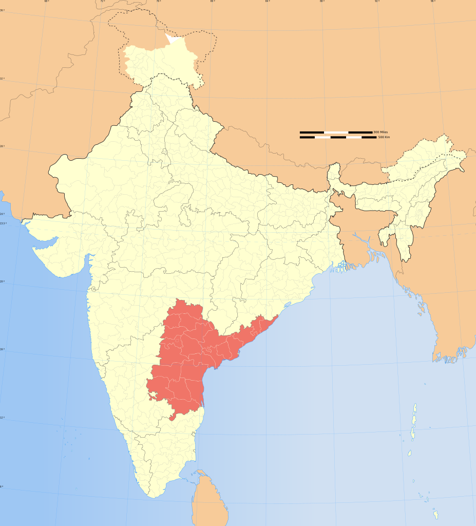
| ୨୨:୫୪, ୬ ଅଗଷ୍ଟ ୨୦୦୬ |  | ୧,୬୩୯ × ୧,୮୫୨ (୭୫୦ KB) | Planemad | {{WikiProject_India_Maps |Title=Andhra Pradesh locator map |Description=Locator map of the state of Andhra Pradesh, India with district boundaries. |Source=. |Date=August 6 2006 |Author=w:user:Nichalpw:user:Planemad |Thumbdir=CHANGE } |
ଫାଇଲ ବ୍ୟବହାର
ଏହି ସବୁ2 ପୃଷ୍ଠାସବୁ ଏହି ଫାଇଲଟିକୁ ଯୋଡ଼ିଥାନ୍ତି:
ଜଗତ ଫାଇଲ ବ୍ୟବହାର
ତଳଲିଖିତ ଉଇକିସବୁ ଏହି ଫାଇଲଟିକୁ ବ୍ୟବହାର କରିଥାନ୍ତି:
- cy.wikipedia.orgରେ ବ୍ୟବହାର
- en.wikipedia.orgରେ ବ୍ୟବହାର
- gu.wikipedia.orgରେ ବ୍ୟବହାର
- is.wikipedia.orgରେ ବ୍ୟବହାର
- mg.wikipedia.orgରେ ବ୍ୟବହାର
- ne.wikipedia.orgରେ ବ୍ୟବହାର
- pa.wikipedia.orgରେ ବ୍ୟବହାର
- pl.wikipedia.orgରେ ବ୍ୟବହାର
- Andhra Pradesh
- Visakhapatnam (dystrykt)
- Anantapur (dystrykt)
- Guntur (dystrykt)
- East Godavari (dystrykt)
- Kadapa (dystrykt)
- Chittoor (dystrykt)
- Hajdarabad (dystrykt)
- Karimnagar (dystrykt)
- Khammam (dystrykt)
- Krishna (dystrykt)
- Karnulu (dystrykt)
- Mahbubnagar (dystrykt)
- Medak (dystrykt)
- Nalgonda (dystrykt)
- Nellore (dystrykt)
- Nizamabad (dystrykt)
- Prakasam (dystrykt)
- Rangareddi (dystrykt)
- Srikakulam (dystrykt)
- Vizianagaram (dystrykt)
- West Godavari (dystrykt)
- Warangal (dystrykt)
- Szablon:Stan Andhra Pradesh
- sa.wikipedia.orgରେ ବ୍ୟବହାର
- sq.wikipedia.orgରେ ବ୍ୟବହାର
- ta.wikipedia.orgରେ ବ୍ୟବହାର
- ta.wikinews.orgରେ ବ୍ୟବହାର
ଏହି ଫାଇଲଟିର ଅଧିକ ବିଶ୍ୱବ୍ୟାପୀ ବ୍ୟବହାର ଦେଖନ୍ତୁ ।
.svg)
.svg)