
ଫାଇଲ:Philippines location map (Mindanao).svg

Size of this PNG preview of this SVG file: ୬୫୬ × ୪୮୬ ପିକ୍ସେଲ. ବାକି ରେଜୋଲୁସନ: ୩୨୦ × ୨୩୭ ପିକ୍ସେଲ | ୬୪୦ × ୪୭୪ ପିକ୍ସେଲ | ୧,୦୨୪ × ୭୫୯ ପିକ୍ସେଲ | ୧,୨୮୦ × ୯୪୮ ପିକ୍ସେଲ | ୨,୫୬୦ × ୧,୮୯୭ ପିକ୍ସେଲ.
ମୂଳ ଫାଇଲ (SVG ଫାଇଲ, ସାଧାରଣ ମାପ ୬୫୬ × ୪୮୬ ପିକ୍ସେଲ, ଫାଇଲ ଆକାର: ୩.୬୬ MB)
This is a file from the Wikimedia Commons. Information from its description page there is shown below. |
.svg)
ସାରକଥା
| ବିବରଣୀ |
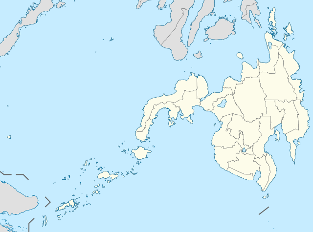
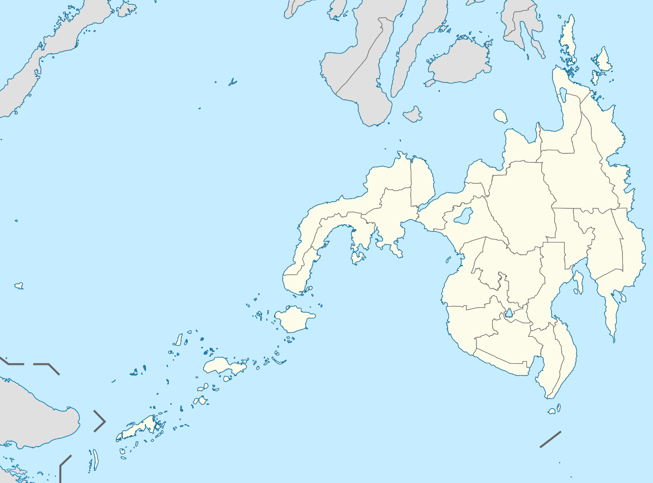
English: Location map of the Philippines (Mindanao)
Equirectangular projection based on the parallel of 10°43' N
|
| ତାରିଖ | |
| ମୂଳାଧାର | File:Philippines location map (square).svg |
| ଲେଖକ | User:Hellerick |
| ଅନ୍ୟ ସଂସ୍କରଣ |
This file was derived from: Philippines location map (square).svg: .svg) |
ସତ୍ଵ
ଏହି ଫାଇଲଟି କ୍ରିଏଟିଭ କମନ୍ସ ଅଧୀନରେ ଆଟ୍ରିବୁସନ ସେଆର-ଏଲାଇକ ୩.୦ ଅନପୋର୍ଟେଡ଼ ଲାଇସେନ୍ସରେ ପଞ୍ଜିକରଣ କରାଯାଇଅଛି ।
- ଆପଣ ଆରାମରେ:
- ବାଣ୍ଟିପାରିବେ – କାମଟିକୁ ନକଲ କରିପାରିବେ, ବାଣ୍ଟିପାରିବେ ଓ ପ୍ରସାରଣ କରିପାରିବେ
- ମିଶାଇପାରିବେ – କାମଟି ଅଭିଯୋଜନ କରିପାରିବେ
- ତଳଲିଖିତ ସର୍ତ୍ତାବଳୀ ଅଧୀନରେ:
- ଶ୍ରେୟ – ଆପଣ ମନେ କରି ଏହି କାମର ଆବଶ୍ୟକୀୟ ଶ୍ରେୟ ମୂଳ ଗଢ଼ାଳି ବା ସ୍ୱତ୍ୱାଧୀକାରୀଙ୍କୁ ଦେବେ ଏବଂ ଦେଲାବେଳେ ଲାଇସେନ୍ସର ଲିଙ୍କ ଦେଇ କି କି ବଦଳ କଲେ ଉଲ୍ଲେଖ କରିବେ । ଏହା ଉପଯୁକ୍ତ ଢଙ୍ଗରେ କରିବେ କିନ୍ତୁ ଲାଇସେନ୍ସ ଦେଉଥିବା ବ୍ୟକ୍ତି ଆପଣଙ୍କ ପ୍ରଚାର କଲା ଭଳି କିଛି ଲେଖିବେ ନାହିଁ ।
- ସେଆର ଏଲାଇକ – ଯଦି ଆପଣ ଏହି କାମଟିକୁ ବଦଳାଇବେ, ରୂପାନ୍ତରଣ କରିବେ ବା ଏହାକୁ ନେଇ କିଛି ଗଢ଼ିବେ ତେବେ ଆପଣ ଏହାକୁ ଏକା ବା ଅଲଗା ଲାଇସେନ୍ସ ଭିତରେ ରଖିପାରିବେ ।
ଫାଇଲ ଇତିହାସ
ଏହା ଫାଇଲଟି ସେତେବେଳେ ଯେମିତି ଦିଶୁଥିଲା ତାହା ଦେଖିବା ପାଇଁ ତାରିଖ/ବେଳା ଉପରେ କ୍ଲିକ କରନ୍ତୁ
| ତାରିଖ/ବେଳ | ନଖ ଦେଖଣା | ଆକାର | ବ୍ୟବହାରକାରୀ | ମତାମତ | |
|---|---|---|---|---|---|
| ଏବେକାର | ୧୨:୪୧, ୧୭ ମଇ ୨୦୨୧ | | ୬୫୬ × ୪୮୬ (୩.୬୬ MB) | Petriolo | Reverted to version as of 05:35, 3 May 2021 (UTC) The new administrative borders are based from the Philippine government websites (https://www.geoportal.gov.ph/; http://noah.up.edu.ph/), and is deemed accurate. These new files have reliable sources and there's no "beauty" in it if it is inaccurate in the first place. |
| ୧୯:୩୨, ୧୬ ମଇ ୨୦୨୧ |  | ୬୫୬ × ୪୮୬ (୨.୨୨ MB) | AichiWikiFixer | Reverted to version as of 14:34, 27 October 2017 (UTC) (Borders seen as ugly) | |
| ୧୧:୦୫, ୩ ମଇ ୨୦୨୧ |  | ୬୫୬ × ୪୮୬ (୩.୬୬ MB) | Petriolo | updated with NAMRIA borders | |
| ୨୦:୦୪, ୨୭ ଅକ୍ଟୋବର ୨୦୧୭ |  | ୬୫୬ × ୪୮୬ (୨.୨୨ MB) | Mliu92 | Changed crop to add missing island. | |
| ୨୨:୫୩, ୨୬ ଅକ୍ଟୋବର ୨୦୧୭ |  | ୫୭୩ × ୫୭୩ (୨.୨୨ MB) | Mliu92 | User created page with UploadWizard |
ଫାଇଲ ବ୍ୟବହାର
ଏହି ଫାଇଲ ସହିତ ଯୋଡ଼ା ଗୋଟିଏ ବି ପୃଷ୍ଠା ନାହିଁ ।
ଜଗତ ଫାଇଲ ବ୍ୟବହାର
ତଳଲିଖିତ ଉଇକିସବୁ ଏହି ଫାଇଲଟିକୁ ବ୍ୟବହାର କରିଥାନ୍ତି:
- azb.wikipedia.orgରେ ବ୍ୟବହାର
- en.wikipedia.orgରେ ବ୍ୟବହାର
- Xavier University – Ateneo de Cagayan
- Moro Gulf
- Mindanao State University
- Ateneo de Davao University
- Francisco Bangoy International Airport
- Agusan del Sur State University
- Zamboanga International Airport
- Dipolog Airport
- Laguindingan Airport
- General Santos International Airport
- Cotabato Airport
- Pagadian Airport
- Surigao Airport
- Bancasi Airport
- Sanga-Sanga Airport
- Sayak Airport
- Bukidnon State University
- Mindanao State University–Iligan Institute of Technology
- La Salle University (Ozamiz)
- Mountain View College (Philippines)
- De La Salle John Bosco College
- Central Mindanao University
- University of the Philippines Mindanao
- Iligan Medical Center College
- Camiguin Airport
- Jolo Airport
- Labo Airport
- Father Saturnino Urios University
- Notre Dame of Marbel University
- Notre Dame of Dadiangas University
- Caraga State University – Cabadbaran Campus
- Fort Pilar
- Mindanao State University–Naawan
- University of Science and Technology of Southern Philippines
- Liceo de Cagayan University
- Cagayan de Oro College
- Misamis University
- San Pedro College
- University of the Immaculate Conception
- Assumption College of Davao
- Basilan State College
- 1976 Moro Gulf earthquake
- St. Michael's College (Iligan)
- University of Mindanao
- Saint Michael College of Caraga
- Colegio de Kidapawan
- List of Philippine Basketball Association playing venues
- Holy Cross of Davao College
- San Agustin Institute of Technology
ଏହି ଫାଇଲଟିର ଅଧିକ ବିଶ୍ୱବ୍ୟାପୀ ବ୍ୟବହାର ଦେଖନ୍ତୁ ।
.svg)
.svg)