
ଫାଇଲ:Punjab districts blank.png
ବଡ଼ ରେଜୋଲୁସନ ନାହିଁ ।
Punjab_districts_blank.png (୫୫୬ × ୫୯୯ ପିକସେଲ, ଫାଇଲ ଆକାର: ୧୦୬ KB, ଏମ.ଆଇ.ଏମ.ଇର ପ୍ରକାର: image/png)
This is a file from the Wikimedia Commons. Information from its description page there is shown below. |

|
This locator map image could be re-created using vector graphics as an SVG file. This has several advantages; see Commons:Media for cleanup for more information. If an SVG form of this image is available, please upload it and afterwards replace this template with
{{vector version available|new image name}}.
It is recommended to name the SVG file “Punjab districts blank.svg”—then the template Vector version available (or Vva) does not need the new image name parameter. |
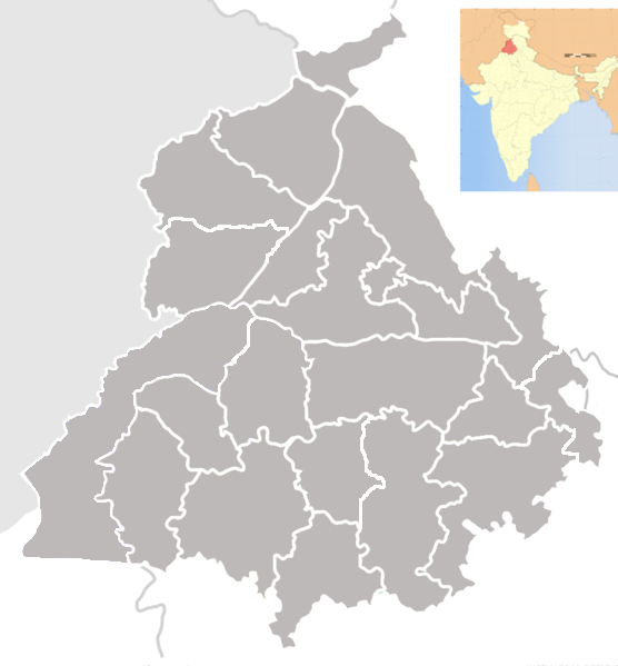
| ବିବରଣୀ | Blank map of districts of Punjab, India. |
| ତାରିଖ | (UTC) |
| ମୂଳାଧାର | |
| ଲେଖକ |
|
| This is a retouched picture, which means that it has been digitally altered from its original version. The original can be viewed here: Punjab locator map.svg:
|
ମୁଁ, ଏହି କାମର ସତ୍ଵାଧିକାରୀ, ଏଠାରେ ତଳଲିଖିତ ଲାଇସେନ୍ସ ଅଧୀନରେ ଏହାକୁ ପ୍ରକାଶ କଲି:
ଏହି ଫାଇଲଟି କ୍ରିଏଟିଭ କମନ୍ସ ଅଧୀନରେ ଆଟ୍ରିବୁସନ ସେଆର-ଏଲାଇକ ୩.୦ ଅନପୋର୍ଟେଡ଼ ଲାଇସେନ୍ସରେ ପଞ୍ଜିକରଣ କରାଯାଇଅଛି ।
- ଆପଣ ଆରାମରେ:
- ବାଣ୍ଟିପାରିବେ – କାମଟିକୁ ନକଲ କରିପାରିବେ, ବାଣ୍ଟିପାରିବେ ଓ ପ୍ରସାରଣ କରିପାରିବେ
- ମିଶାଇପାରିବେ – କାମଟି ଅଭିଯୋଜନ କରିପାରିବେ
- ତଳଲିଖିତ ସର୍ତ୍ତାବଳୀ ଅଧୀନରେ:
- ଶ୍ରେୟ – ଆପଣ ମନେ କରି ଏହି କାମର ଆବଶ୍ୟକୀୟ ଶ୍ରେୟ ମୂଳ ଗଢ଼ାଳି ବା ସ୍ୱତ୍ୱାଧୀକାରୀଙ୍କୁ ଦେବେ ଏବଂ ଦେଲାବେଳେ ଲାଇସେନ୍ସର ଲିଙ୍କ ଦେଇ କି କି ବଦଳ କଲେ ଉଲ୍ଲେଖ କରିବେ । ଏହା ଉପଯୁକ୍ତ ଢଙ୍ଗରେ କରିବେ କିନ୍ତୁ ଲାଇସେନ୍ସ ଦେଉଥିବା ବ୍ୟକ୍ତି ଆପଣଙ୍କ ପ୍ରଚାର କଲା ଭଳି କିଛି ଲେଖିବେ ନାହିଁ ।
- ସେଆର ଏଲାଇକ – ଯଦି ଆପଣ ଏହି କାମଟିକୁ ବଦଳାଇବେ, ରୂପାନ୍ତରଣ କରିବେ ବା ଏହାକୁ ନେଇ କିଛି ଗଢ଼ିବେ ତେବେ ଆପଣ ଏହାକୁ ଏକା ବା ଅଲଗା ଲାଇସେନ୍ସ ଭିତରେ ରଖିପାରିବେ ।
ମୂଲ ଅପଲୋଡ଼ ଫାଇଲ
This image is a derivative work of the following images:
- File:Punjab_locator_map.svg licensed with Cc-by-sa-3.0
- 2007-04-25T18:25:41Z PlaneMad 2393x1956 (192941 Bytes) {{WikiProject_India_Maps |Title=Punjab locator map |Description=Locator map of the state of [[w:Punjab]], [[w:India|India]] with district boundaries, major highways, railways and water bodies. |Source=[www.punjabtourism.org/t
Uploaded with derivativeFX
ଫାଇଲ ଇତିହାସ
ଏହା ଫାଇଲଟି ସେତେବେଳେ ଯେମିତି ଦିଶୁଥିଲା ତାହା ଦେଖିବା ପାଇଁ ତାରିଖ/ବେଳା ଉପରେ କ୍ଲିକ କରନ୍ତୁ
| ତାରିଖ/ବେଳ | ନଖ ଦେଖଣା | ଆକାର | ବ୍ୟବହାରକାରୀ | ମତାମତ | |
|---|---|---|---|---|---|
| ଏବେକାର | ୦୨:୦୯, ୧୨ ଜୁନ ୨୦୧୩ | | ୫୫୬ × ୫୯୯ (୧୦୬ KB) | Jujhar.pannu | Modified district borders adding Pathankot and slight touchups |
| ୦୮:୪୨, ୨୪ ସେପ୍ଟେମ୍ବର ୨୦୦୯ |  | ୯୫୫ × ୧,୦୨୯ (୧୫୫ KB) | Abhijitsathe | {{Information |Description=Blank map of districts of Punjab, India. |Source=*File:Punjab_locator_map.svg |Date=2009-09-24 03:11 (UTC) |Author=*File:Punjab_locator_map.svg: '''PlaneMad''' *derivative work: ~~~ |Permission=see |
ଫାଇଲ ବ୍ୟବହାର
ଏହି ଫାଇଲ ସହିତ ଯୋଡ଼ା ଗୋଟିଏ ବି ପୃଷ୍ଠା ନାହିଁ ।
ଜଗତ ଫାଇଲ ବ୍ୟବହାର
ତଳଲିଖିତ ଉଇକିସବୁ ଏହି ଫାଇଲଟିକୁ ବ୍ୟବହାର କରିଥାନ୍ତି:
- bn.wikipedia.orgରେ ବ୍ୟବହାର
- জিরা, পাঞ্জাব
- জিরাকপুর
- চোহাল
- আবোহার
- দারোহা
- দাসুয়া
- দৌলতপুর (পাঞ্জাব)
- ডেরা বাবা নানক
- ডেরা বাস্সি
- ধানাউলা
- ধরমকোট
- ধারিওয়াল
- ধিলওয়ান
- ধুরি
- দিনা নগর
- দিরবা
- ফরিদকোট
- ফতেহগড় চুরিয়ান
- ফাজিলকা
- ফিরোজপুর
- ফিরোজপুর ক্যন্টনমেন্ট
- গার্দিওয়ালা
- গড়শানকের
- ঘাগ্গা
- গানৌর
- গিদ্দেরবাহা
- গোনিয়ানা
- আমলোহ
- গোরায়া
- গুরুদাসপুর
- গুরু হর শাহি
- হানদিয়া
- হরিয়ানা (পাঞ্জাব)
- হোশিয়ারপুর
- হুসেইনপুর
- আনন্দপুর সাহিব
- জাগরাওন
- জয়তু
- জালালাবাদ, ফাজিলকা
- জলন্ধর
- জলন্ধর ক্যন্টনমেন্ট
- জান্দিয়ালা গুরু
- জান্দিয়ালা (জলন্ধর)
- জুগিয়াল
- কালানৌর
- কাপুরথালা, পাঞ্জাব
- কারোরান
- কার্টাপুর
- আদমপুর (পাঞ্জাব)
- খামানোন
ଏହି ଫାଇଲଟିର ଅଧିକ ବିଶ୍ୱବ୍ୟାପୀ ବ୍ୟବହାର ଦେଖନ୍ତୁ ।