
ଫାଇଲ:Pakistan Punjab location map.svg

Size of this PNG preview of this SVG file: ୪୯୪ × ୬୦୦ ପିକ୍ସେଲ. ବାକି ରେଜୋଲୁସନ: ୧୯୮ × ୨୪୦ ପିକ୍ସେଲ | ୩୯୫ × ୪୮୦ ପିକ୍ସେଲ | ୬୩୨ × ୭୬୮ ପିକ୍ସେଲ | ୮୪୩ × ୧,୦୨୪ ପିକ୍ସେଲ | ୧,୬୮୬ × ୨,୦୪୮ ପିକ୍ସେଲ | ୮୪୯ × ୧,୦୩୧ ପିକ୍ସେଲ.
ମୂଳ ଫାଇଲ (SVG ଫାଇଲ, ସାଧାରଣ ମାପ ୮୪୯ × ୧,୦୩୧ ପିକ୍ସେଲ, ଫାଇଲ ଆକାର: ୬୧୭ KB)
This is a file from the Wikimedia Commons. Information from its description page there is shown below. |
ସାରକଥା
| ବିବରଣୀ |
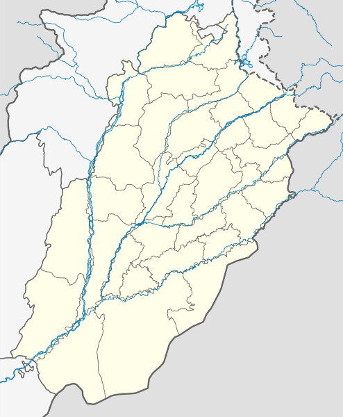
English: Location map of Punjab
|
||||||||||||
| ତାରିଖ | |||||||||||||
| ମୂଳାଧାର | ଆପଣା କାମ | ||||||||||||
| ଲେଖକ | Milenioscuro | ||||||||||||
ସତ୍ଵ
ମୁଁ, ଏହି କାମର ସତ୍ଵାଧିକାରୀ, ଏଠାରେ ତଳଲିଖିତ ଲାଇସେନ୍ସ ଅଧୀନରେ ଏହାକୁ ପ୍ରକାଶ କଲି:
This file is licensed under the Creative Commons Attribution-Share Alike 4.0 International license.
- ଆପଣ ଆରାମରେ:
- ବାଣ୍ଟିପାରିବେ – କାମଟିକୁ ନକଲ କରିପାରିବେ, ବାଣ୍ଟିପାରିବେ ଓ ପ୍ରସାରଣ କରିପାରିବେ
- ମିଶାଇପାରିବେ – କାମଟି ଅଭିଯୋଜନ କରିପାରିବେ
- ତଳଲିଖିତ ସର୍ତ୍ତାବଳୀ ଅଧୀନରେ:
- ଶ୍ରେୟ – ଆପଣ ମନେ କରି ଏହି କାମର ଆବଶ୍ୟକୀୟ ଶ୍ରେୟ ମୂଳ ଗଢ଼ାଳି ବା ସ୍ୱତ୍ୱାଧୀକାରୀଙ୍କୁ ଦେବେ ଏବଂ ଦେଲାବେଳେ ଲାଇସେନ୍ସର ଲିଙ୍କ ଦେଇ କି କି ବଦଳ କଲେ ଉଲ୍ଲେଖ କରିବେ । ଏହା ଉପଯୁକ୍ତ ଢଙ୍ଗରେ କରିବେ କିନ୍ତୁ ଲାଇସେନ୍ସ ଦେଉଥିବା ବ୍ୟକ୍ତି ଆପଣଙ୍କ ପ୍ରଚାର କଲା ଭଳି କିଛି ଲେଖିବେ ନାହିଁ ।
- ସେଆର ଏଲାଇକ – ଯଦି ଆପଣ ଏହି କାମଟିକୁ ବଦଳାଇବେ, ରୂପାନ୍ତରଣ କରିବେ ବା ଏହାକୁ ନେଇ କିଛି ଗଢ଼ିବେ ତେବେ ଆପଣ ଏହାକୁ ଏକା ବା ଅଲଗା ଲାଇସେନ୍ସ ଭିତରେ ରଖିପାରିବେ ।
ଫାଇଲ ଇତିହାସ
ଏହା ଫାଇଲଟି ସେତେବେଳେ ଯେମିତି ଦିଶୁଥିଲା ତାହା ଦେଖିବା ପାଇଁ ତାରିଖ/ବେଳା ଉପରେ କ୍ଲିକ କରନ୍ତୁ
| ତାରିଖ/ବେଳ | ନଖ ଦେଖଣା | ଆକାର | ବ୍ୟବହାରକାରୀ | ମତାମତ | |
|---|---|---|---|---|---|
| ଏବେକାର | ୦୩:୦୩, ୨୬ ଅପ୍ରେଲ ୨୦୨୪ | | ୮୪୯ × ୧,୦୩୧ (୬୧୭ KB) | GrandEscogriffe | north-south stretching |
| ୦୯:୧୬, ୪ ଅକ୍ଟୋବର ୨୦୨୧ |  | ୮୪୯ × ୮୮୩ (୬୧୮ KB) | C1MM | Fixed Nanakana Sahib district | |
| ୦୯:୦୦, ୧୫ ସେପ୍ଟେମ୍ବର ୨୦୨୧ |  | ୮୪୯ × ୮୮୩ (୬୧୮ KB) | C1MM | Added better boundaries and rivers | |
| ୦୪:୧୯, ୨୫ ଅକ୍ଟୋବର ୨୦୨୦ |  | ୭୭୯ × ୯୧୨ (୧୯୧ KB) | C1MM | Fixed background | |
| ୦୪:୧୦, ୨୫ ଅକ୍ଟୋବର ୨୦୨୦ |  | ୭୭୯ × ୯୧୨ (୧୯୧ KB) | C1MM | Reframed document | |
| ୨୧:୨୪, ୧୮ ଅପ୍ରେଲ ୨୦୨୦ |  | ୭୭୯ × ୯୧୨ (୧୮୮ KB) | C1MM | Standardized colors and rivers - showed de facto administrative situation of Kashmir | |
| ୨୦:୪୯, ୧୪ ମଇ ୨୦୧୯ |  | ୭୭୯ × ୯୧୨ (୧୮୬ KB) | Milenioscuro | User created page with UploadWizard |
ଫାଇଲ ବ୍ୟବହାର
ଏହି ସବୁ3 ପୃଷ୍ଠାସବୁ ଏହି ଫାଇଲଟିକୁ ଯୋଡ଼ିଥାନ୍ତି:
ଜଗତ ଫାଇଲ ବ୍ୟବହାର
ତଳଲିଖିତ ଉଇକିସବୁ ଏହି ଫାଇଲଟିକୁ ବ୍ୟବହାର କରିଥାନ୍ତି:
- bn.wikipedia.orgରେ ବ୍ୟବହାର
- রাওয়ালপিন্ডি
- শিয়ালকোট
- মুলতান আন্তর্জাতিক বিমানবন্দর
- গুজরানওয়ালা
- সারগোধা
- রহিম ইয়ার খান
- সাদিকাবাদ
- সাহিওয়াল
- কলাবাঘ
- প্রহ্লাদপুরী মন্দির, মুলতান
- মডিউল:অবস্থান মানচিত্র/উপাত্ত/পাকিস্তান পাঞ্জাব
- মডিউল:অবস্থান মানচিত্র/উপাত্ত/পাকিস্তান পাঞ্জাব/নথি
- রাজনপুর
- নুর মহল (পাকিস্তান)
- চৌবুর্জি
- রোশনাই গেট
- বাহাওয়ালনগর
- জেনারেল হেডকোয়ার্টার (পাকিস্তান সেনাবাহিনী)
- বাহাউদ্দিন জাকারিয়ার মাজার
- বাহাওয়ালপুর গির্জায় গোলাগুলি
- ভগওয়াল
- কটাসরাজ মন্দির
- de.wikipedia.orgରେ ବ୍ୟବହାର
- en.wikipedia.orgରେ ବ୍ୟବହାର
ଏହି ଫାଇଲଟିର ଅଧିକ ବିଶ୍ୱବ୍ୟାପୀ ବ୍ୟବହାର ଦେଖନ୍ତୁ ।