
ଫାଇଲ:Canada (geolocalisation).svg

Size of this PNG preview of this SVG file: ୭୦୬ × ୫୯୯ ପିକ୍ସେଲ. ବାକି ରେଜୋଲୁସନ: ୨୮୩ × ୨୪୦ ପିକ୍ସେଲ | ୫୬୬ × ୪୮୦ ପିକ୍ସେଲ | ୯୦୫ × ୭୬୮ ପିକ୍ସେଲ | ୧,୨୦୭ × ୧,୦୨୪ ପିକ୍ସେଲ | ୨,୪୧୩ × ୨,୦୪୮ ପିକ୍ସେଲ | ୧,୦୮୪ × ୯୨୦ ପିକ୍ସେଲ.
ମୂଳ ଫାଇଲ (SVG ଫାଇଲ, ସାଧାରଣ ମାପ ୧,୦୮୪ × ୯୨୦ ପିକ୍ସେଲ, ଫାଇଲ ଆକାର: ୯୪ KB)
This is a file from the Wikimedia Commons. Information from its description page there is shown below. |
.svg)
| ବିବରଣୀ |
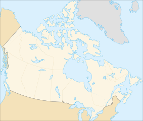
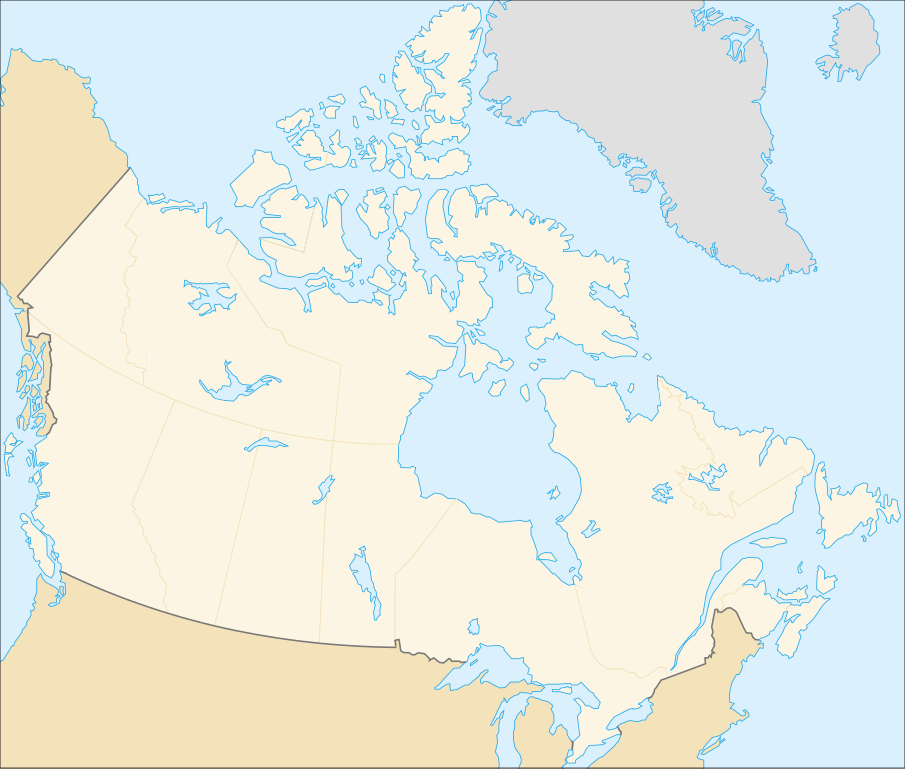
English: cropped version of Image:Carte administrative du Canada.svg for map location. (Lambert conformal conic projection from The Atlas of Canada) |
| ତାରିଖ | |
| ମୂଳାଧାର | Image:Carte administrative du Canada.png. |
| ଲେଖକ | STyx |
| ଅନୁମତି (ଏହି ଫାଇଲକୁ ପୁଣି ବ୍ୟବହାର କରିବେ) |
This file is licensed under the Creative Commons Attribution-Share Alike 4.0 International, 3.0 Unported, 2.5 Generic, 2.0 Generic and 1.0 Generic license.
|
| ଅନ୍ୟ ସଂସ୍କରଣ |
Derivative works of this file: |
Locations
Le cadrage est x=80px, y=166px, height=920, width=1084. Quelques positions :
| x | y | |
| pôle Nord | 475.5 | -159.5 |
| Alert | 565 | 9 |
| Vancouver | 77 | 678 |
| Montréal | 807 | 798 |
| Winnipeg | 442 | 753 |
| Iqaluit | 718 | 396 |
ଫାଇଲ ଇତିହାସ
ଏହା ଫାଇଲଟି ସେତେବେଳେ ଯେମିତି ଦିଶୁଥିଲା ତାହା ଦେଖିବା ପାଇଁ ତାରିଖ/ବେଳା ଉପରେ କ୍ଲିକ କରନ୍ତୁ
| ତାରିଖ/ବେଳ | ନଖ ଦେଖଣା | ଆକାର | ବ୍ୟବହାରକାରୀ | ମତାମତ | |
|---|---|---|---|---|---|
| ଏବେକାର | ୦୭:୧୮, ୭ ଫେବୃଆରୀ ୨୦୦୭ | | ୧,୦୮୪ × ୯୨୦ (୯୪ KB) | STyx | retouche mineure |
| ୦୭:୧୧, ୭ ଫେବୃଆରୀ ୨୦୦୭ |  | ୧,୦୮୪ × ୯୨୦ (୯୪ KB) | STyx | {{Created with Inkscape}} {{Information |Description= *{{fr}} Version recadrée et épurée de Image:Carte administrative du Canada.svg pour la géolocation du Canada. Le cadrage est x=80px, y=166px, height=920, width=1084. Quelques positions : <cent |
ଫାଇଲ ବ୍ୟବହାର
ଏହି ଫାଇଲ ସହିତ ଯୋଡ଼ା ଗୋଟିଏ ବି ପୃଷ୍ଠା ନାହିଁ ।
ଜଗତ ଫାଇଲ ବ୍ୟବହାର
ତଳଲିଖିତ ଉଇକିସବୁ ଏହି ଫାଇଲଟିକୁ ବ୍ୟବହାର କରିଥାନ୍ତି:
- de.wikipedia.orgରେ ବ୍ୟବହାର
- fr.wikipedia.orgରେ ବ୍ୟବହାର
.svg)