
ଫାଇଲ:Japan Kanto adm location map.svg

Size of this PNG preview of this SVG file: ୪୮୮ × ୬୦୦ ପିକ୍ସେଲ. ବାକି ରେଜୋଲୁସନ: ୧୯୫ × ୨୪୦ ପିକ୍ସେଲ | ୩୯୧ × ୪୮୦ ପିକ୍ସେଲ | ୬୨୫ × ୭୬୮ ପିକ୍ସେଲ | ୮୩୩ × ୧,୦୨୪ ପିକ୍ସେଲ | ୧,୬୬୭ × ୨,୦୪୮ ପିକ୍ସେଲ | ୯୬୬ × ୧,୧୮୭ ପିକ୍ସେଲ.
ମୂଳ ଫାଇଲ (SVG ଫାଇଲ, ସାଧାରଣ ମାପ ୯୬୬ × ୧,୧୮୭ ପିକ୍ସେଲ, ଫାଇଲ ଆକାର: ୪୬୫ KB)
This is a file from the Wikimedia Commons. Information from its description page there is shown below. |
ସାରକଥା
| ବିବରଣୀ |
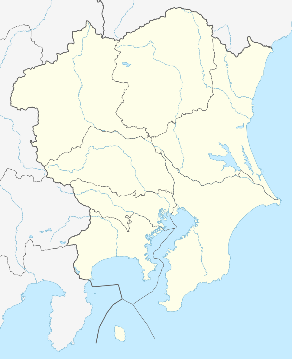
Deutsch: Positionskarte der Region Kantō, Japan (ohne Izu- und Ogasawara-Inseln)
English: Location map of Kantō region, Japan (without Izu and Ogasawara Islands)
|
||||||||||||
| ତାରିଖ | |||||||||||||
| ମୂଳାଧାର |
Own work using: |
||||||||||||
| ଲେଖକ | NordNordWest and OpenStreetMap contributors | ||||||||||||

|
This map has been made or improved in the German Kartenwerkstatt (Map Lab). You can propose maps to improve as well.
|
ସତ୍ଵ
ଏହି ଫାଇଲଟି କ୍ରିଏଟିଭ କମନ୍ସ ଅଧୀନରେ ଆଟ୍ରିବୁସନ ସେଆର-ଏଲାଇକ ୨.୦ ଜେନେରିକ ଲାଇସେନ୍ସରେ ପଞ୍ଜିକରଣ କରାଯାଇଅଛି ।
- ଆପଣ ଆରାମରେ:
- ବାଣ୍ଟିପାରିବେ – କାମଟିକୁ ନକଲ କରିପାରିବେ, ବାଣ୍ଟିପାରିବେ ଓ ପ୍ରସାରଣ କରିପାରିବେ
- ମିଶାଇପାରିବେ – କାମଟି ଅଭିଯୋଜନ କରିପାରିବେ
- ତଳଲିଖିତ ସର୍ତ୍ତାବଳୀ ଅଧୀନରେ:
- ଶ୍ରେୟ – ଆପଣ ମନେ କରି ଏହି କାମର ଆବଶ୍ୟକୀୟ ଶ୍ରେୟ ମୂଳ ଗଢ଼ାଳି ବା ସ୍ୱତ୍ୱାଧୀକାରୀଙ୍କୁ ଦେବେ ଏବଂ ଦେଲାବେଳେ ଲାଇସେନ୍ସର ଲିଙ୍କ ଦେଇ କି କି ବଦଳ କଲେ ଉଲ୍ଲେଖ କରିବେ । ଏହା ଉପଯୁକ୍ତ ଢଙ୍ଗରେ କରିବେ କିନ୍ତୁ ଲାଇସେନ୍ସ ଦେଉଥିବା ବ୍ୟକ୍ତି ଆପଣଙ୍କ ପ୍ରଚାର କଲା ଭଳି କିଛି ଲେଖିବେ ନାହିଁ ।
- ସେଆର ଏଲାଇକ – ଯଦି ଆପଣ ଏହି କାମଟିକୁ ବଦଳାଇବେ, ରୂପାନ୍ତରଣ କରିବେ ବା ଏହାକୁ ନେଇ କିଛି ଗଢ଼ିବେ ତେବେ ଆପଣ ଏହାକୁ ଏକା ବା ଅଲଗା ଲାଇସେନ୍ସ ଭିତରେ ରଖିପାରିବେ ।
ଫାଇଲ ଇତିହାସ
ଏହା ଫାଇଲଟି ସେତେବେଳେ ଯେମିତି ଦିଶୁଥିଲା ତାହା ଦେଖିବା ପାଇଁ ତାରିଖ/ବେଳା ଉପରେ କ୍ଲିକ କରନ୍ତୁ
| ତାରିଖ/ବେଳ | ନଖ ଦେଖଣା | ଆକାର | ବ୍ୟବହାରକାରୀ | ମତାମତ | |
|---|---|---|---|---|---|
| ଏବେକାର | ୦୧:୧୪, ୨୩ ଜୁଲାଇ ୨୦୧୫ | | ୯୬୬ × ୧,୧୮୭ (୪୬୫ KB) | NordNordWest | == {{int:filedesc}} == {{Information |Description= {{de|1=Positionskarte der Region Kantō, Japan (ohne Izu- und Ogasawara-Inseln)}} {{en|1=Location map of Kantō region, Japan (without Izu and Ogasawara Islands)}} {{Location map series N |stretching=-... |
ଫାଇଲ ବ୍ୟବହାର
ଏହି ସବୁ3 ପୃଷ୍ଠାସବୁ ଏହି ଫାଇଲଟିକୁ ଯୋଡ଼ିଥାନ୍ତି:
ଜଗତ ଫାଇଲ ବ୍ୟବହାର
ତଳଲିଖିତ ଉଇକିସବୁ ଏହି ଫାଇଲଟିକୁ ବ୍ୟବହାର କରିଥାନ୍ତି:
- de.wikipedia.orgରେ ବ୍ୟବହାର
- J1 League
- Wikipedia:Kartenwerkstatt/Positionskarten/Asien
- J2 League
- J.League 1993
- J.League 1994
- J.League Division 1 2014
- J.League 1995
- J1 League 2015
- J.League 1996
- Vorlage:Positionskarte Japan Kantō
- J.League 1997
- J1 League 2016
- J2 League 2016
- J3 League 2016
- Japan Football League 2016
- J2 League 2015
- J3 League 2015
- J3 League 2014
- J.League Division 2 2014
- J.League 1998
- J.League Division 1 1999
- J.League Division 1 2000
- J.League Division 1 2001
- J.League Division 1 2002
- J.League Division 1 2003
- J.League Division 1 2004
- J.League Division 1 2005
- J.League Division 1 2006
- J.League Division 1 2007
- J.League Division 1 2008
- J.League Division 1 2009
- J.League Division 1 2010
- J.League Division 1 2011
- J.League Division 1 2012
- J.League Division 1 2013
- J.League Division 2 2013
- J.League Division 2 1999
- J.League Division 2 2000
- J.League Division 2 2001
- J.League Division 2 2002
- J.League Division 2 2003
- J.League Division 2 2004
- J.League Division 2 2005
- J.League Division 2 2006
- J.League Division 2 2007
- J.League Division 2 2008
- J.League Division 2 2009
- J.League Division 2 2010
- J.League Division 2 2011
- J.League Division 2 2012
ଏହି ଫାଇଲଟିର ଅଧିକ ବିଶ୍ୱବ୍ୟାପୀ ବ୍ୟବହାର ଦେଖନ୍ତୁ ।