
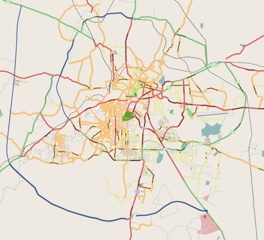
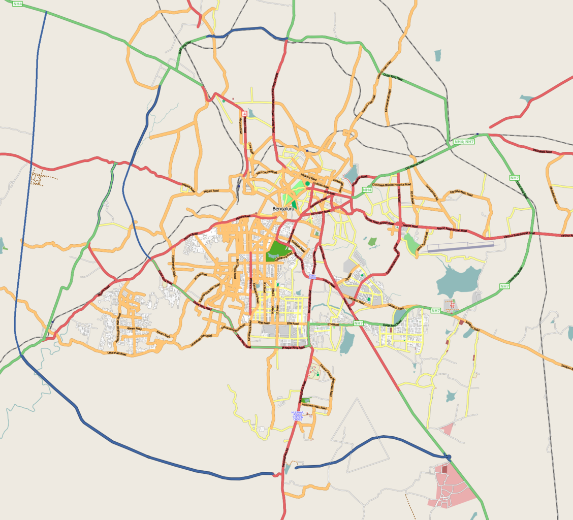
ଫାଇଲ:Bangalore street Map.png

ଏହି ଦେଖଣାର ଆକାର: ୬୬୧ × ୬୦୦ ପିକ୍ସେଲ । ବାକି ରେଜୋଲୁସନ: ୨୬୪ × ୨୪୦ ପିକ୍ସେଲ | ୫୨୯ × ୪୮୦ ପିକ୍ସେଲ | ୮୪୬ × ୭୬୮ ପିକ୍ସେଲ | ୧,୧୨୮ × ୧,୦୨୪ ପିକ୍ସେଲ | ୧,୭୨୨ × ୧,୫୬୩ ପିକ୍ସେଲ.
ମୂଳ ଫାଇଲ (୧,୭୨୨ × ୧,୫୬୩ ପିକସେଲ, ଫାଇଲ ଆକାର: ୮୫୫ KB, ଏମ.ଆଇ.ଏମ.ଇର ପ୍ରକାର: image/png)
This is a file from the Wikimedia Commons. Information from its description page there is shown below. |
| ବିବରଣୀ | |
| ତାରିଖ |
୩୧ ଡିସେମ୍ବର ୨୦୦୮ (original upload date) |
| ମୂଳାଧାର | openstreetmap.org |
| ଲେଖକ | Collaboratively created by the OpenStreetMap community using only free map sources and manual GPS surveying to build the map from scratch. Raise lkblr grabbed this image from OpenStreetMap |
| ଅନୁମତି (ଏହି ଫାଇଲକୁ ପୁଣି ବ୍ୟବହାର କରିବେ) |
See OpenStreetMap License for details. |
| ଅନ୍ୟ ସଂସ୍କରଣ | The 'live' version of this map is available at http://www.openstreetmap.org/?lat=12.9536&lon=77.598&zoom=13 Use the 'export' tab to get a fresh export in a variety of formats, including SVG and '.osm', the underlying geolocated data. Use the 'edit' tab there to edit the map! |
ସାରକଥା
Latitudes from 77.46 to 77.72
Longitude from 12.83 to 13.06
ସତ୍ଵ
ଏହି ଫାଇଲଟି କ୍ରିଏଟିଭ କମନ୍ସ ଅଧୀନରେ ଆଟ୍ରିବୁସନ ୨.୦ ଜେନେରିକ ଲାଇସେନ୍ସରେ ପଞ୍ଜିକରଣ କରାଯାଇଅଛି ।
- ଆପଣ ଆରାମରେ:
- ବାଣ୍ଟିପାରିବେ – କାମଟିକୁ ନକଲ କରିପାରିବେ, ବାଣ୍ଟିପାରିବେ ଓ ପ୍ରସାରଣ କରିପାରିବେ
- ମିଶାଇପାରିବେ – କାମଟି ଅଭିଯୋଜନ କରିପାରିବେ
- ତଳଲିଖିତ ସର୍ତ୍ତାବଳୀ ଅଧୀନରେ:
- ଶ୍ରେୟ – ଆପଣ ମନେ କରି ଏହି କାମର ଆବଶ୍ୟକୀୟ ଶ୍ରେୟ ମୂଳ ଗଢ଼ାଳି ବା ସ୍ୱତ୍ୱାଧୀକାରୀଙ୍କୁ ଦେବେ ଏବଂ ଦେଲାବେଳେ ଲାଇସେନ୍ସର ଲିଙ୍କ ଦେଇ କି କି ବଦଳ କଲେ ଉଲ୍ଲେଖ କରିବେ । ଏହା ଉପଯୁକ୍ତ ଢଙ୍ଗରେ କରିବେ କିନ୍ତୁ ଲାଇସେନ୍ସ ଦେଉଥିବା ବ୍ୟକ୍ତି ଆପଣଙ୍କ ପ୍ରଚାର କଲା ଭଳି କିଛି ଲେଖିବେ ନାହିଁ ।
ମୂଲ ଅପଲୋଡ଼ ଫାଇଲ
Transferred from en.wikipedia to Commons by Closedmouth.
The original description page was here. All following user names refer to en.wikipedia.
- 2008-12-31 03:39 Raise lkblr 1722×1563× (789839 bytes)
- 2008-12-30 08:49 Raise lkblr 1656×1019× (632450 bytes) updated
- 2008-12-30 08:34 Raise lkblr 1517×1520× (790374 bytes) from http://openstreetmap.org/
ଫାଇଲ ଇତିହାସ
ଏହା ଫାଇଲଟି ସେତେବେଳେ ଯେମିତି ଦିଶୁଥିଲା ତାହା ଦେଖିବା ପାଇଁ ତାରିଖ/ବେଳା ଉପରେ କ୍ଲିକ କରନ୍ତୁ
| ତାରିଖ/ବେଳ | ନଖ ଦେଖଣା | ଆକାର | ବ୍ୟବହାରକାରୀ | ମତାମତ | |
|---|---|---|---|---|---|
| ଏବେକାର | ୧୨:୦୨, ୨୦ ଜୁଲାଇ ୨୦୧୨ | | ୧,୭୨୨ × ୧,୫୬୩ (୮୫୫ KB) | Wantsallanger | enhanced contrast |
| ୧୨:୨୯, ୪ ମାର୍ଚ୍ଚ ୨୦୧୧ |  | ୧,୭୨୨ × ୧,୫୬୩ (୮୬୧ KB) | Raise lkblr | updated completed ring road | |
| ୨୦:୧୭, ୨୪ ମାର୍ଚ୍ଚ ୨୦୦୯ |  | ୧,୭୨୨ × ୧,୫୬୩ (୭୭୧ KB) | Closedmouth | {{Information |Description={{en|Map of en:Bangalore, India<br/> en:Category:OpenStreetMap maps}} |Source=Transferred from [http://en.wikipedia.org en.wikipedia]; transfer was stated to be made by User:Closedmouth.<br/> (Original text : ''[ht |
ଫାଇଲ ବ୍ୟବହାର
ଏହି ସବୁପୃଷ୍ଠା ଏହି ଫାଇଲଟିକୁ ଯୋଡ଼ିଥାନ୍ତି:
ଜଗତ ଫାଇଲ ବ୍ୟବହାର
ତଳଲିଖିତ ଉଇକିସବୁ ଏହି ଫାଇଲଟିକୁ ବ୍ୟବହାର କରିଥାନ୍ତି:
- af.wikipedia.orgରେ ବ୍ୟବହାର
- ar.wikipedia.orgରେ ବ୍ୟବହାର
- ba.wikipedia.orgରେ ବ୍ୟବହାର
- bn.wikipedia.orgରେ ବ୍ୟବହାର
- বোম্মনাহাল্লি
- ইলেকট্রনিক সিটি
- মডিউল:অবস্থান মানচিত্র/উপাত্ত/ভারত বেঙ্গালুরু
- মডিউল:অবস্থান মানচিত্র/উপাত্ত/ভারত বেঙ্গালুরু/নথি
- বিধান সৌধ
- ডাঃ বি.আর. আম্বেদকর স্টেশন, বিধান সৌধ মেট্রো স্টেশন
- স্বামী বিবেকানন্দ রোড মেট্রো স্টেশন
- বাইয়াপ্পনহাল্লি মেট্রো স্টেশন
- ইন্দিরানগর মেট্রো স্টেশন
- হালাসুরু মেট্রো স্টেশন
- মহাত্মা গান্ধী রোড মেট্রো স্টেশন (বেঙ্গালুরু)
- কাবন পার্ক মেট্রো স্টেশন
- কেঙ্গেরি মেট্রো স্টেশন
- ca.wikipedia.orgରେ ବ୍ୟବହାର
- ceb.wikipedia.orgରେ ବ୍ୟବହାର
- en.wikipedia.orgରେ ବ୍ୟବହାର
- Visvesvaraya Industrial and Technological Museum
- Vidhana Soudha
- Whitefield, Bangalore
- B.M.S. College of Engineering
- R.V. College of Engineering
- Jayanagar, Bangalore
- Lal Bagh
- Domlur
- Madiwala
- Basaveshwaranagara
- Koramangala
- Hebbal, Bangalore
- Indiranagar
- HSR Layout
- Begur, Bangalore
- Basavanagudi
- Sri Chamarajendra Udyanavana
- Ulsoor
- Hulimavu
- Shivajinagar, Bangalore
- Yelachenahalli
- Bommanahalli
- Gottigere
- Kengeri
- Konanakunte
- Krishnarajapuram
- Mahadevapura, Bangalore
- Uttarahalli
- Malleshwaram, Bengaluru
- Hoodi
- Arekere
- Gavi Gangadhareshwara Temple
ଏହି ଫାଇଲଟିର ଅଧିକ ବିଶ୍ୱବ୍ୟାପୀ ବ୍ୟବହାର ଦେଖନ୍ତୁ ।