
ଫାଇଲ:USA Florida location map.svg

Size of this PNG preview of this SVG file: ୬୧୯ × ୫୯୯ ପିକ୍ସେଲ. ବାକି ରେଜୋଲୁସନ: ୨୪୮ × ୨୪୦ ପିକ୍ସେଲ | ୪୯୬ × ୪୮୦ ପିକ୍ସେଲ | ୭୯୩ × ୭୬୮ ପିକ୍ସେଲ | ୧,୦୫୮ × ୧,୦୨୪ ପିକ୍ସେଲ | ୨,୧୧୫ × ୨,୦୪୮ ପିକ୍ସେଲ | ୧,୧୩୨ × ୧,୦୯୬ ପିକ୍ସେଲ.
ମୂଳ ଫାଇଲ (SVG ଫାଇଲ, ସାଧାରଣ ମାପ ୧,୧୩୨ × ୧,୦୯୬ ପିକ୍ସେଲ, ଫାଇଲ ଆକାର: ୫୭୮ KB)
This is a file from the Wikimedia Commons. Information from its description page there is shown below. |
ସାରକଥା
| ବିବରଣୀ |
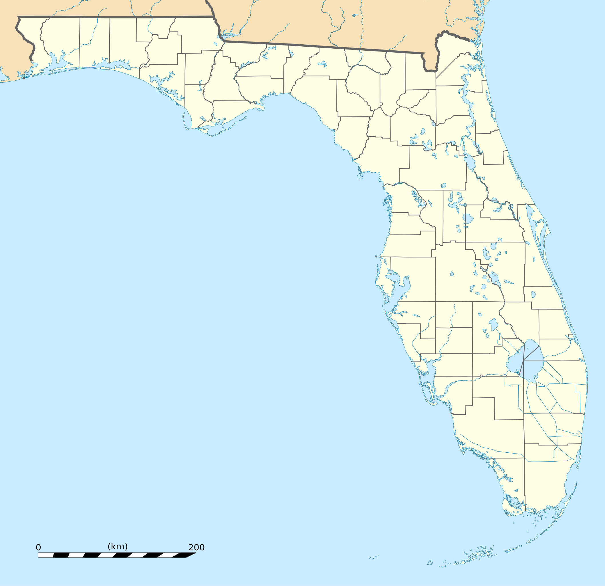
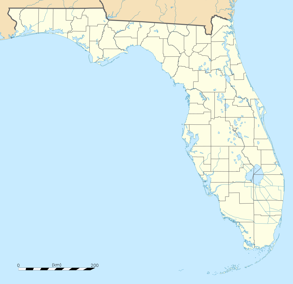
English: Blank administrative map of the State of Florida, USA, for geo-location purpose, with counties boundaries.
Français : Carte administrative vierge de l'état de Floride, États-Unis, destinée à la géolocalisation, avec limite des comtés. Equirectangular projection, WGS84 datum
Scale: 1:2,000,000
|
| ତାରିଖ | |
| ମୂଳାଧାର |
Own work |
| ଲେଖକ | Eric Gaba (Sting - fr:Sting) |
| ଅନ୍ୟ ସଂସ୍କରଣ |
Derivative works of this file: Derivative works of this file:
|
| SVG genesis |


| Camera location | | View this and other nearby images on: OpenStreetMap |
|---|
ସତ୍ଵ
| Attribution required |
|---|
| Any use of this map can be made as long as you credit me (Eric Gaba – Wikimedia Commons user: Sting) as the author. A message with a reply address would also be greatly appreciated. |
ମୁଁ, ଏହି କାମର ସତ୍ଵାଧିକାରୀ, ଏଠାରେ ତଳଲିଖିତ ଲାଇସେନ୍ସ ଅଧୀନରେ ଏହାକୁ ପ୍ରକାଶ କଲି:
ଏହି ଫାଇଲଟି କ୍ରିଏଟିଭ କମନ୍ସ ଅଧୀନରେ ଆଟ୍ରିବୁସନ ୩.୦ ଜେନେରିକ ଲାଇସେନ୍ସରେ ପଞ୍ଜିକରଣ କରାଯାଇଅଛି ।
- ଆପଣ ଆରାମରେ:
- ବାଣ୍ଟିପାରିବେ – କାମଟିକୁ ନକଲ କରିପାରିବେ, ବାଣ୍ଟିପାରିବେ ଓ ପ୍ରସାରଣ କରିପାରିବେ
- ମିଶାଇପାରିବେ – କାମଟି ଅଭିଯୋଜନ କରିପାରିବେ
- ତଳଲିଖିତ ସର୍ତ୍ତାବଳୀ ଅଧୀନରେ:
- ଶ୍ରେୟ – ଆପଣ ମନେ କରି ଏହି କାମର ଆବଶ୍ୟକୀୟ ଶ୍ରେୟ ମୂଳ ଗଢ଼ାଳି ବା ସ୍ୱତ୍ୱାଧୀକାରୀଙ୍କୁ ଦେବେ ଏବଂ ଦେଲାବେଳେ ଲାଇସେନ୍ସର ଲିଙ୍କ ଦେଇ କି କି ବଦଳ କଲେ ଉଲ୍ଲେଖ କରିବେ । ଏହା ଉପଯୁକ୍ତ ଢଙ୍ଗରେ କରିବେ କିନ୍ତୁ ଲାଇସେନ୍ସ ଦେଉଥିବା ବ୍ୟକ୍ତି ଆପଣଙ୍କ ପ୍ରଚାର କଲା ଭଳି କିଛି ଲେଖିବେ ନାହିଁ ।
ଫାଇଲ ଇତିହାସ
ଏହା ଫାଇଲଟି ସେତେବେଳେ ଯେମିତି ଦିଶୁଥିଲା ତାହା ଦେଖିବା ପାଇଁ ତାରିଖ/ବେଳା ଉପରେ କ୍ଲିକ କରନ୍ତୁ
| ତାରିଖ/ବେଳ | ନଖ ଦେଖଣା | ଆକାର | ବ୍ୟବହାରକାରୀ | ମତାମତ | |
|---|---|---|---|---|---|
| ଏବେକାର | ୦୧:୫୫, ୧୬ ଡିସେମ୍ବର ୨୦୦୮ | | ୧,୧୩୨ × ୧,୦୯୬ (୫୭୮ KB) | Sting | Counties boundaries: thinner strokes |
| ୦୧:୧୯, ୧୬ ଡିସେମ୍ବର ୨୦୦୮ |  | ୧,୧୩୨ × ୧,୦୯୬ (୫୭୮ KB) | Sting | == Summary == {{Location|27|45|00|N|83|49|30|W|scale:4000000}} <br/> {{Information |Description={{en|Blank administrative map of the State of Florida, USA, for geo-location purpose, with counties boundaries.}} {{fr|Ca |
ଫାଇଲ ବ୍ୟବହାର
ଏହି ସବୁପୃଷ୍ଠା ଏହି ଫାଇଲଟିକୁ ଯୋଡ଼ିଥାନ୍ତି:
ଜଗତ ଫାଇଲ ବ୍ୟବହାର
ତଳଲିଖିତ ଉଇକିସବୁ ଏହି ଫାଇଲଟିକୁ ବ୍ୟବହାର କରିଥାନ୍ତି:
- af.wikipedia.orgରେ ବ୍ୟବହାର
- an.wikipedia.orgରେ ବ୍ୟବହାର
- ar.wikipedia.orgରେ ବ୍ୟବହାର
- ast.wikipedia.orgରେ ବ୍ୟବହାର
- azb.wikipedia.orgରେ ବ୍ୟବହାର
- تالاهاسی
- فورت لادردیل، فلوریدا
- ایقل لیک، فلوریدا
- کی وست، فلوریدا
- وست پام بیچ، فلوریدا
- برادنتون بیچ، فلوریدا
- سانشاین اکریز، فلوریدا
- آیلند والک، فلوریدا
- آسیلا، فلوریدا
- قاردن قروو، فلوریدا
- واکینا، فلوریدا
- اسپرینق ریج، فلوریدا
- رالی، فلوریدا
- وستلیامن، فلوریدا
- لیک میستیک، فلوریدا
- براونزدیل، فلوریدا
- ریورریج، فلوریدا
- قاردنر، فلوریدا
- بریدیل، فلوریدا
- مانسون، فلوریدا
- سن کاستل، فلوریدا
- مانتیورا، فلوریدا
- آوو ماریا، فلوریدا
- اونا، فلوریدا
- تایقر پوینت، فلوریدا
- آریپکا، فلوریدا
- بروستر، فلوریدا
- پوینت بیکر، فلوریدا
- واترقیت، فلوریدا
- میولات، فلوریدا
- میدو اوکس، فلوریدا
- فلوریداتاون، فلوریدا
- کبنا کالنی، فلوریدا
- فورت قرین اسپرینقز، فلوریدا
- مانت کارمل، فلوریدا
- ورونا واک، فلوریدا
- هریتیج پاینز، فلوریدا
- کانرتون، فلوریدا
ଏହି ଫାଇଲଟିର ଅଧିକ ବିଶ୍ୱବ୍ୟାପୀ ବ୍ୟବହାର ଦେଖନ୍ତୁ ।