
ଫାଇଲ:Paris department land cover location map.svg

Size of this PNG preview of this SVG file: ୮୦୦ × ୫୨୧ ପିକ୍ସେଲ. ବାକି ରେଜୋଲୁସନ: ୩୨୦ × ୨୦୮ ପିକ୍ସେଲ | ୬୪୦ × ୪୧୭ ପିକ୍ସେଲ | ୧,୦୨୪ × ୬୬୭ ପିକ୍ସେଲ | ୧,୨୮୦ × ୮୩୪ ପିକ୍ସେଲ | ୨,୫୬୦ × ୧,୬୬୭ ପିକ୍ସେଲ | ୧,୩୭୧ × ୮୯୩ ପିକ୍ସେଲ.
ମୂଳ ଫାଇଲ (SVG ଫାଇଲ, ସାଧାରଣ ମାପ ୧,୩୭୧ × ୮୯୩ ପିକ୍ସେଲ, ଫାଇଲ ଆକାର: ୬.୭୫ MB)
This is a file from the Wikimedia Commons. Information from its description page there is shown below. |
ସାରକଥା
| ଶିରୋନାମ |
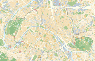
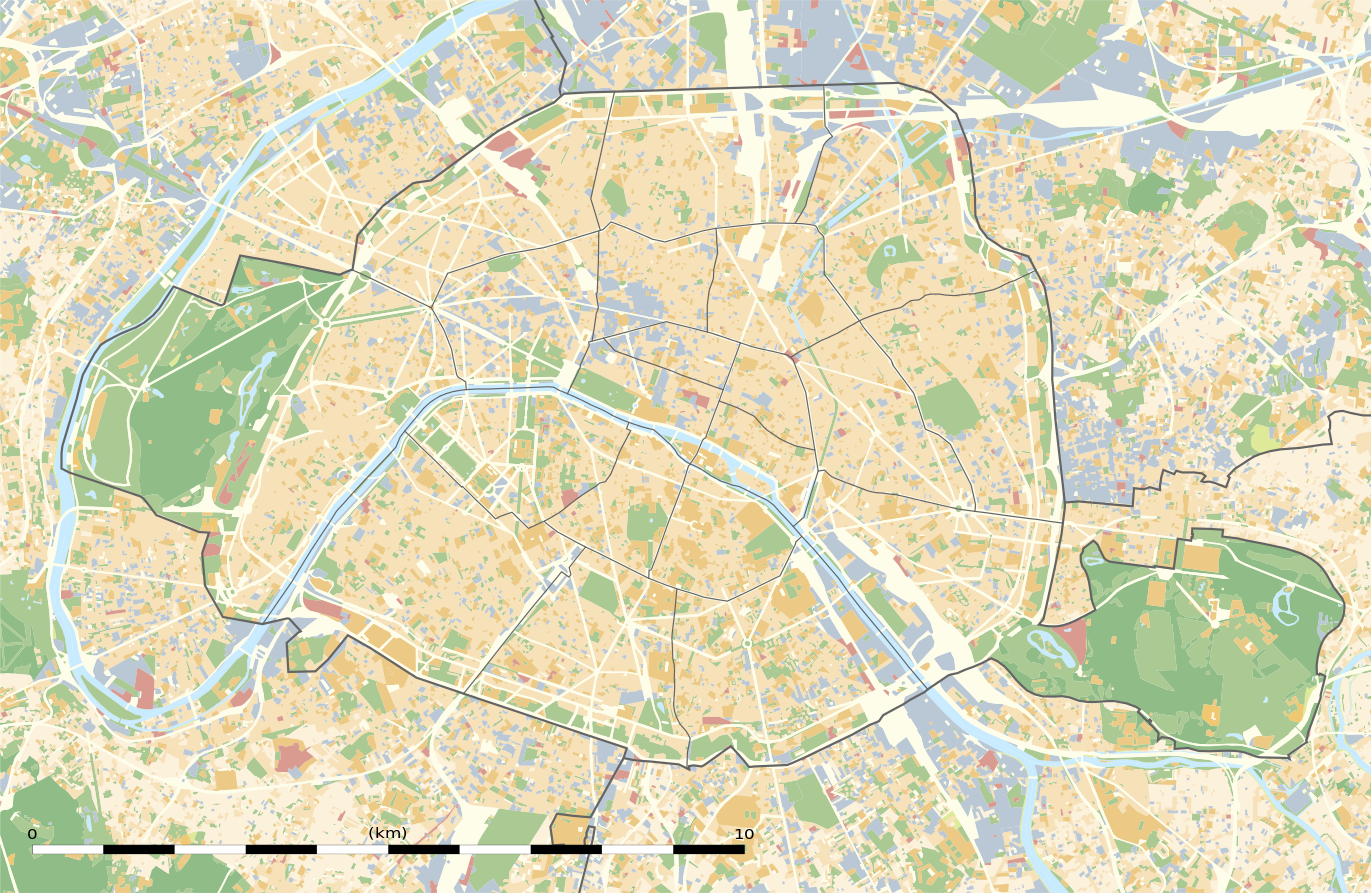
Blank land cover map of the city and department of Paris, France |
||||||||||||||||||||||||||||||||||||
| Description |
English: Blank land cover map of the city and department of Paris, France, as in January 2012, for geo-location purpose, with distinct boundaries for departments and arrondissements.
Français : Carte vierge de l'occupation du sol de la ville et département de Paris, France, tel qu'en janvier 2012, destinée à la géolocalisation, avec limite distincte des départements et arrondissements. |
||||||||||||||||||||||||||||||||||||
| Map legend |
|
||||||||||||||||||||||||||||||||||||
| ତାରିଖ | |||||||||||||||||||||||||||||||||||||
| ମୂଳାଧାର |
ଆପଣା କାମ
|
||||||||||||||||||||||||||||||||||||
| Creator | |||||||||||||||||||||||||||||||||||||
| ଅନୁମତି (ଏହି ଫାଇଲକୁ ପୁଣି ବ୍ୟବହାର କରିବେ) |
|
||||||||||||||||||||||||||||||||||||
| Geotemporal data | |||||||||||||||||||||||||||||||||||||
| Date depicted | |||||||||||||||||||||||||||||||||||||
| Map location | ପ୍ୟାରିସ 48°51′24″N 2°21′03″E / 48.8567°N 2.3508°E | ||||||||||||||||||||||||||||||||||||
| Spatial reference system | WGS84 datum | ||||||||||||||||||||||||||||||||||||
| Scale | 1:124,000 (precision: 31 m) | ||||||||||||||||||||||||||||||||||||
| Heading |
 |
||||||||||||||||||||||||||||||||||||
| Bounding box |
|
||||||||||||||||||||||||||||||||||||
| Georeferencing | If inappropriate please set warp_status = skip to hide. | ||||||||||||||||||||||||||||||||||||
| ଅନ୍ୟ ସଂସ୍କରଣ |
|
||||||||||||||||||||||||||||||||||||


ସତ୍ଵ
Eric Gaba, Wikimedia Commons user Sting, ଏହି କାମର ସତ୍ଵାଧିକାରୀ, ଏଠାରେ ତଳଲିଖିତ ଲାଇସେନ୍ସ ଅଧୀନରେ ଏହାକୁ ପ୍ରକାଶ କଲେ:
ଏହି ଫାଇଲଟି କ୍ରିଏଟିଭ କମନ୍ସ ଅଧୀନରେ ଆଟ୍ରିବୁସନ ସେଆର-ଏଲାଇକ ୩.୦ ଅନପୋର୍ଟେଡ଼ ଲାଇସେନ୍ସରେ ପଞ୍ଜିକରଣ କରାଯାଇଅଛି ।
ଶ୍ରେୟ: Eric Gaba, Wikimedia Commons user Sting
- ଆପଣ ଆରାମରେ:
- ବାଣ୍ଟିପାରିବେ – କାମଟିକୁ ନକଲ କରିପାରିବେ, ବାଣ୍ଟିପାରିବେ ଓ ପ୍ରସାରଣ କରିପାରିବେ
- ମିଶାଇପାରିବେ – କାମଟି ଅଭିଯୋଜନ କରିପାରିବେ
- ତଳଲିଖିତ ସର୍ତ୍ତାବଳୀ ଅଧୀନରେ:
- ଶ୍ରେୟ – ଆପଣ ମନେ କରି ଏହି କାମର ଆବଶ୍ୟକୀୟ ଶ୍ରେୟ ମୂଳ ଗଢ଼ାଳି ବା ସ୍ୱତ୍ୱାଧୀକାରୀଙ୍କୁ ଦେବେ ଏବଂ ଦେଲାବେଳେ ଲାଇସେନ୍ସର ଲିଙ୍କ ଦେଇ କି କି ବଦଳ କଲେ ଉଲ୍ଲେଖ କରିବେ । ଏହା ଉପଯୁକ୍ତ ଢଙ୍ଗରେ କରିବେ କିନ୍ତୁ ଲାଇସେନ୍ସ ଦେଉଥିବା ବ୍ୟକ୍ତି ଆପଣଙ୍କ ପ୍ରଚାର କଲା ଭଳି କିଛି ଲେଖିବେ ନାହିଁ ।
- ସେଆର ଏଲାଇକ – ଯଦି ଆପଣ ଏହି କାମଟିକୁ ବଦଳାଇବେ, ରୂପାନ୍ତରଣ କରିବେ ବା ଏହାକୁ ନେଇ କିଛି ଗଢ଼ିବେ ତେବେ ଆପଣ ଏହାକୁ ଏକା ବା ଅଲଗା ଲାଇସେନ୍ସ ଭିତରେ ରଖିପାରିବେ ।
ଫାଇଲ ଇତିହାସ
ଏହା ଫାଇଲଟି ସେତେବେଳେ ଯେମିତି ଦିଶୁଥିଲା ତାହା ଦେଖିବା ପାଇଁ ତାରିଖ/ବେଳା ଉପରେ କ୍ଲିକ କରନ୍ତୁ
| ତାରିଖ/ବେଳ | ନଖ ଦେଖଣା | ଆକାର | ବ୍ୟବହାରକାରୀ | ମତାମତ | |
|---|---|---|---|---|---|
| ଏବେକାର | ୦୭:୪୮, ୧୨ ଫେବୃଆରୀ ୨୦୧୫ | | ୧,୩୭୧ × ୮୯୩ (୬.୭୫ MB) | Sting | == {{int:filedesc}} == {{Location|48|51|22.5|N|02|20|37.5|E|scale:50000}} {{Information |Description={{en|Blank land cover map of the city and department of Paris, France, as in January 2012, for geo-location purpose, with distinct bounda... |
ଫାଇଲ ବ୍ୟବହାର
ଏହି ସବୁପୃଷ୍ଠା ଏହି ଫାଇଲଟିକୁ ଯୋଡ଼ିଥାନ୍ତି:
ଜଗତ ଫାଇଲ ବ୍ୟବହାର
ତଳଲିଖିତ ଉଇକିସବୁ ଏହି ଫାଇଲଟିକୁ ବ୍ୟବହାର କରିଥାନ୍ତି:
- als.wikipedia.orgରେ ବ୍ୟବହାର
- ar.wikipedia.orgରେ ବ୍ୟବହାର
- ast.wikipedia.orgରେ ବ୍ୟବହାର
- azb.wikipedia.orgରେ ବ୍ୟବହାର
- az.wikipedia.orgରେ ବ୍ୟବହାର
- be.wikipedia.orgରେ ବ୍ୟବହାର
- bg.wikipedia.orgରେ ବ୍ୟବହାର
- Бастилия
- Отьой
- Дефанс
- Пер Лашез
- Халите (Париж)
- Музей Орсе
- Монмартър
- Университет „Париж-VI: Пиер и Мария Кюри“
- Университет Париж-I Пантеон-Сорбона
- Университет Париж-VII: Дени Дидро
- Университет Пари-Дофин
- Национална библиотека на Франция
- Александър III (мост)
- Ил дьо ла Сите
- Монпарнас
- Маре (Париж)
- Жусийо (кампус)
- Музей на изкуството и историята на юдаизма
- Шаблон:ПК Франция Париж
ଏହି ଫାଇଲଟିର ଅଧିକ ବିଶ୍ୱବ୍ୟାପୀ ବ୍ୟବହାର ଦେଖନ୍ତୁ ।