
ଫାଇଲ:MaharashtraSangli.png
ଏହି ଦେଖଣାର ଆକାର: ୭୭୮ × ୬୦୦ ପିକ୍ସେଲ । ବାକି ରେଜୋଲୁସନ: ୩୧୨ × ୨୪୦ ପିକ୍ସେଲ | ୬୨୩ × ୪୮୦ ପିକ୍ସେଲ | ୯୯୭ × ୭୬୮ ପିକ୍ସେଲ | ୧,୨୮୦ × ୯୮୭ ପିକ୍ସେଲ | ୨,୧୬୮ × ୧,୬୭୧ ପିକ୍ସେଲ.
ମୂଳ ଫାଇଲ (୨,୧୬୮ × ୧,୬୭୧ ପିକସେଲ, ଫାଇଲ ଆକାର: ୪୨୬ KB, ଏମ.ଆଇ.ଏମ.ଇର ପ୍ରକାର: image/png)
This is a file from the Wikimedia Commons. Information from its description page there is shown below. |
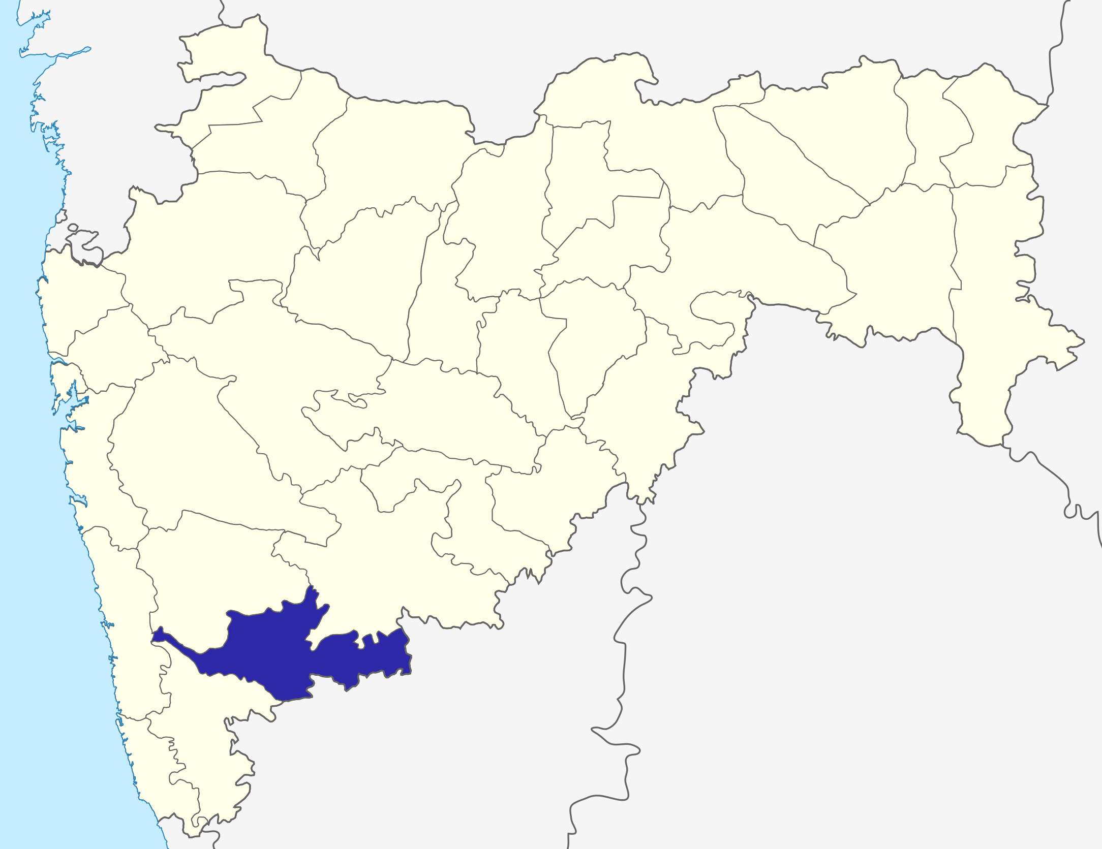
Sangli dist
Source: Drawn by me
| ମୁଁ, ଏହି କାମର ସତ୍ଵାଧିକାରୀ, ଏହାକୁ ପବ୍ଲିକ ଡୋମେନରେ ଏହାକୁ ପ୍ରକାଶ କରୁଛି । ଏହା ଜଗତଯାକ ପାଇଁ ଲାଗୁ । କେତେକ ଦେଶରେ ଏହା ନ୍ୟାୟମତେ ଅନୁମୋଦିତ ହୋଇନପାରେ, ଯଦି ସେମିତି ହୁଏ: ମୁଁ, ଯେ ପର୍ଯ୍ୟନ୍ତ ଆଇନରେ କିଛି ସର୍ତ୍ତ ଦରକାର ନ ପଡ଼େ ସେ ପର୍ଯ୍ୟନ୍ତ ସଭିଙ୍କୁ କୌଣସି ବି ଉଦ୍ଦେଶ୍ୟରେ ଏହ କାମଟିକୁ ନିସର୍ତ୍ତ ବ୍ୟବହାର କରିବାକୁ ଅନୁମତି ଦେଉଛି । |
\
ଫାଇଲ ଇତିହାସ
ଏହା ଫାଇଲଟି ସେତେବେଳେ ଯେମିତି ଦିଶୁଥିଲା ତାହା ଦେଖିବା ପାଇଁ ତାରିଖ/ବେଳା ଉପରେ କ୍ଲିକ କରନ୍ତୁ
| ତାରିଖ/ବେଳ | ନଖ ଦେଖଣା | ଆକାର | ବ୍ୟବହାରକାରୀ | ମତାମତ | |
|---|---|---|---|---|---|
| ଏବେକାର | ୧୨:୦୧, ୬ ଅକ୍ଟୋବର ୨୦୧୫ | | ୨,୧୬୮ × ୧,୬୭୧ (୪୨୬ KB) | Abhijitsathe | State map updated to reflect new Palghar district |
| ୦୫:୩୯, ୨୨ ସେପ୍ଟେମ୍ବର ୨୦୦୯ |  | ୨,୭୮୯ × ୨,୨୩୨ (୯୫୪ KB) | Abhijitsathe | India map inset | |
| ୨୧:୧୧, ୧୦ ଅପ୍ରେଲ ୨୦୦୯ |  | ୨,୭୮୯ × ୨,୨୩୨ (୭୯୫ KB) | Abhijitsathe | {{Information |Description=Sangli district in Maharashtra |Source=*File:Maharashtra_locator_map.svg |Date=2009-04-10 16:38 (UTC) |Author=*File:Maharashtra_locator_map.svg: '''PlaneMad''' *derivative work: ~~~ |Permission=see below |other_versi | |
| ୨୨:୫୯, ୬ ଅଗଷ୍ଟ ୨୦୦୫ |  | ୨୦୦ × ୧୬୧ (୪ KB) | Nichalp | Sangli dist Source: Drawn by me {{PD-self}} Category:Maharashtra district maps\ |
ଫାଇଲ ବ୍ୟବହାର
ଏହି ଫାଇଲ ସହିତ ଯୋଡ଼ା ଗୋଟିଏ ବି ପୃଷ୍ଠା ନାହିଁ ।