
ଫାଇଲ:Chhattisgarh locator map.svg

ମୂଳ ଫାଇଲ (SVG ଫାଇଲ, ସାଧାରଣ ମାପ ୨,୨୬୯ × ୨,୨୪୧ ପିକ୍ସେଲ, ଫାଇଲ ଆକାର: ୧୫୬ KB)
This is a file from the Wikimedia Commons. Information from its description page there is shown below. |
| ଶିରୋନାମ |
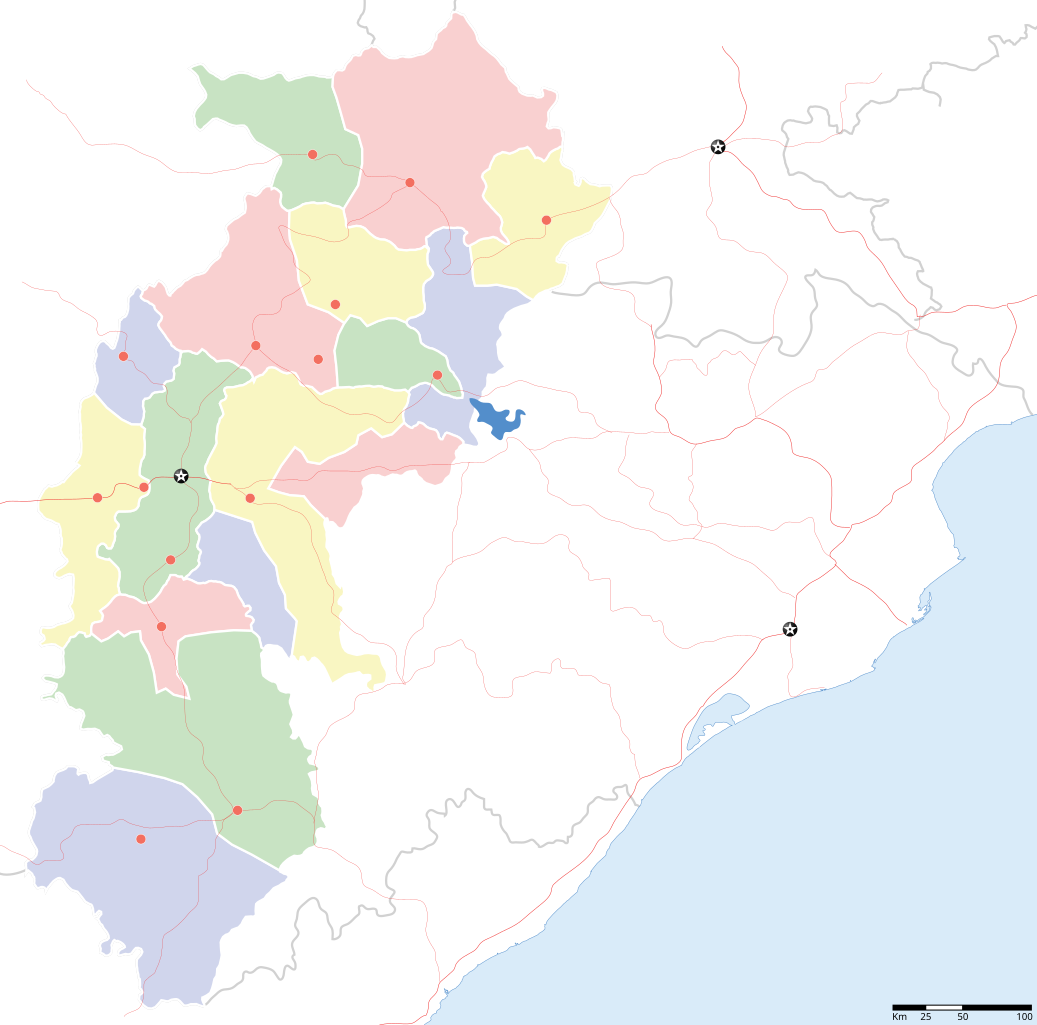
Chhattisgarh locator map |
||
| Description |
Locator map for the Indian state of w:Chhattisgarh. Coordinates: top=24.27, bottom=17.691 |
||
| ତାରିଖ | |||
| ମୂଳାଧାର |
ଆପଣା କାମ |
||
| Creator |
|
||
| ଅନୁମତି (ଏହି ଫାଇଲକୁ ପୁଣି ବ୍ୟବହାର କରିବେ) |
ମୁଁ, ଏହି କାମର ସତ୍ଵାଧିକାରୀ, ଏଠାରେ ତଳଲିଖିତ ଲାଇସେନ୍ସ ଅଧୀନରେ ଏହାକୁ ପ୍ରକାଶ କଲି: ଏହି ଫାଇଲଟି କ୍ରିଏଟିଭ କମନ୍ସ ଅଧୀନରେ ଆଟ୍ରିବୁସନ ସେଆର-ଏଲାଇକ ୩.୦ ଅନପୋର୍ଟେଡ଼ ଲାଇସେନ୍ସରେ ପଞ୍ଜିକରଣ କରାଯାଇଅଛି ।
|
||
| Geotemporal data | |||
| Date depicted | second half of 20 century ଓ 21 century | ||
| Georeferencing | If inappropriate please set warp_status = skip to hide. | ||
| Archival data | |||
| ଟୀକା | Part of WikiProject India Maps | ||
ଫାଇଲ ଇତିହାସ
ଏହା ଫାଇଲଟି ସେତେବେଳେ ଯେମିତି ଦିଶୁଥିଲା ତାହା ଦେଖିବା ପାଇଁ ତାରିଖ/ବେଳା ଉପରେ କ୍ଲିକ କରନ୍ତୁ
| ତାରିଖ/ବେଳ | ନଖ ଦେଖଣା | ଆକାର | ବ୍ୟବହାରକାରୀ | ମତାମତ | |
|---|---|---|---|---|---|
| ଏବେକାର | ୨୩:୦୪, ୬ ସେପ୍ଟେମ୍ବର ୨୦୦୮ | | ୨,୨୬୯ × ୨,୨୪୧ (୧୫୬ KB) | Planemad | {{Information |Description={{en|1=a}} |Source=Own work by uploader |Author=PlaneMad |Date= |Permission= |other_versions= }} <!--{{ImageUpload|full}}--> |
ଫାଇଲ ବ୍ୟବହାର
ଏହି ସବୁପୃଷ୍ଠା ଏହି ଫାଇଲଟିକୁ ଯୋଡ଼ିଥାନ୍ତି:
ଜଗତ ଫାଇଲ ବ୍ୟବହାର
ତଳଲିଖିତ ଉଇକିସବୁ ଏହି ଫାଇଲଟିକୁ ବ୍ୟବହାର କରିଥାନ୍ତି:
- awa.wikipedia.orgରେ ବ୍ୟବହାର
- de.wikipedia.orgରେ ବ୍ୟବହାର
- en.wikipedia.orgରେ ବ୍ୟବହାର
- fa.wikipedia.orgରେ ବ୍ୟବହାର
- hi.wikipedia.orgରେ ବ୍ୟବହାର
- धमतरी जिला
- बस्तर जिला
- बिलासपुर जिला, छत्तीसगढ़
- बस्तर
- कोरिया (छत्तीसगढ़)
- सदस्य:Charu
- साँचा:छत्तीसगढ़ के लोकसभा निर्वाचन क्षेत्र
- सरगुजा लोक सभा निर्वाचन क्षेत्र
- बस्तर लोक सभा निर्वाचन क्षेत्र
- बिलासपुर लोक सभा निर्वाचन क्षेत्र
- दुर्ग लोक सभा निर्वाचन क्षेत्र
- जांजगीर-चंपा लोक सभा निर्वाचन क्षेत्र
- कांकेर लोक सभा निर्वाचन क्षेत्र
- कोरबा लोक सभा निर्वाचन क्षेत्र
- महासमुन्द लोक सभा निर्वाचन क्षेत्र
- रायपुर लोक सभा निर्वाचन क्षेत्र
- राजनन्दगांव लोक सभा निर्वाचन क्षेत्र
- टुण्ड्री
- देवपहरी
- साँचा:सदस्य दुर्ग
- रायगढ़ लोक सभा निर्वाचन क्षेत्र
- कटवार (छत्तीसगढ़)
- incubator.wikimedia.orgରେ ବ୍ୟବହାର
- mai.wikipedia.orgରେ ବ୍ୟବହାର
- oc.wikipedia.orgରେ ବ୍ୟବହାର
- pnb.wikipedia.orgରେ ବ୍ୟବହାର
- ru.wikinews.orgରେ ବ୍ୟବହାର
- sw.wikipedia.orgରେ ବ୍ୟବହାର
- ta.wikipedia.orgରେ ବ୍ୟବହାର
- zh.wikipedia.orgରେ ବ୍ୟବହାର