
ଫାଇଲ:Assam locator map.svg

ମୂଳ ଫାଇଲ (SVG ଫାଇଲ, ସାଧାରଣ ମାପ ୨,୩୯୩ × ୧,୯୫୬ ପିକ୍ସେଲ, ଫାଇଲ ଆକାର: ୨୬୪ KB)
This is a file from the Wikimedia Commons. Information from its description page there is shown below. |
| ଶିରୋନାମ |
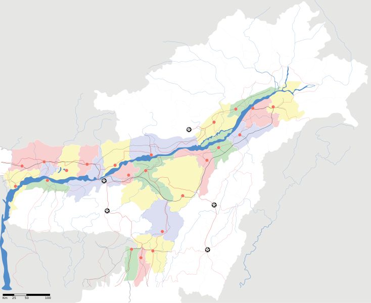
Assam locator Map |
||
| Description |
Map of w:Assam with road and rail lines. Coordinates: top=29.49, bottom=23.74, left=89.61, right=97.52. অসমীয়া: ৰেলপথ, যাত্ৰাপথ সমন্বিতে অসমৰ মানচিত্ৰ, স্থানাংক: ওপৰ=২৯.৪৯, তল=২৩.৭৪, বাও=৮৯.৬১, সো=৯৭.৫২। |
||
| ତାରିଖ | |||
| ମୂଳାଧାର |
ଆପଣା କାମ |
||
| Creator |
|
||
| ଅନୁମତି (ଏହି ଫାଇଲକୁ ପୁଣି ବ୍ୟବହାର କରିବେ) |
ମୁଁ, ଏହି କାମର ସତ୍ଵାଧିକାରୀ, ଏଠାରେ ତଳଲିଖିତ ଲାଇସେନ୍ସ ଅଧୀନରେ ଏହାକୁ ପ୍ରକାଶ କଲି: ଏହି ଫାଇଲଟି କ୍ରିଏଟିଭ କମନ୍ସ ଅଧୀନରେ ଆଟ୍ରିବୁସନ ସେଆର-ଏଲାଇକ ୩.୦ ଅନପୋର୍ଟେଡ଼ ଲାଇସେନ୍ସରେ ପଞ୍ଜିକରଣ କରାଯାଇଅଛି ।
|
||
| Geotemporal data | |||
| Date depicted | second half of 20 century ଓ 21 century | ||
| Georeferencing | If inappropriate please set warp_status = skip to hide. | ||
| Archival data | |||
| ଟୀକା | Part of WikiProject India Maps | ||
ଫାଇଲ ଇତିହାସ
ଏହା ଫାଇଲଟି ସେତେବେଳେ ଯେମିତି ଦିଶୁଥିଲା ତାହା ଦେଖିବା ପାଇଁ ତାରିଖ/ବେଳା ଉପରେ କ୍ଲିକ କରନ୍ତୁ
| ତାରିଖ/ବେଳ | ନଖ ଦେଖଣା | ଆକାର | ବ୍ୟବହାରକାରୀ | ମତାମତ | |
|---|---|---|---|---|---|
| ଏବେକାର | ୦୦:୨୩, ୧୭ ଅପ୍ରେଲ ୨୦୦୭ | | ୨,୩୯୩ × ୧,୯୫୬ (୨୬୪ KB) | Planemad | |
| ୦୦:୦୬, ୧୬ ଅପ୍ରେଲ ୨୦୦୭ |  | ୨,୩୯୩ × ୧,୯୫୬ (୨୧୫ KB) | Planemad | ||
| ୨୨:୫୦, ୧୩ ଅପ୍ରେଲ ୨୦୦୭ |  | ୨,୩୯୩ × ୧,୯୫୬ (୨୦୬ KB) | Planemad | colored | |
| ୨୨:୨୬, ୧୩ ଅପ୍ରେଲ ୨୦୦୭ |  | ୨,୩୯୩ × ୧,୯୫୬ (୨୧୬ KB) | Planemad | crop fix | |
| ୨୨:୨୫, ୧୩ ଅପ୍ରେଲ ୨୦୦୭ |  | ୧,୫୯୧ × ୧,୯୭୫ (୨୧୬ KB) | Planemad | {{WikiProject_India_Maps |Title=Assam locator Map |Description=Map of w:Assam with road and rail lines |Source= [http://www.iitg.ernet.in/rcilts/assam_political.jpg IIT Guwahati - Assam Political map] |Date=April 2007 |Author=w:user:Planemad }} [ |
ଫାଇଲ ବ୍ୟବହାର
ଏହି ସବୁ2 ପୃଷ୍ଠାସବୁ ଏହି ଫାଇଲଟିକୁ ଯୋଡ଼ିଥାନ୍ତି:
ଜଗତ ଫାଇଲ ବ୍ୟବହାର
ତଳଲିଖିତ ଉଇକିସବୁ ଏହି ଫାଇଲଟିକୁ ବ୍ୟବହାର କରିଥାନ୍ତି:
- ar.wikipedia.orgରେ ବ୍ୟବହାର
- as.wikipedia.orgରେ ବ୍ୟବହାର
- তেজপুৰ
- শিৱসাগৰ
- বৰপেটা
- যোৰহাট
- উত্তৰ লখিমপুৰ
- কামাখ্যা মন্দিৰ
- সদস্য:Anshuman.jrt/নলবাৰী
- সদস্য:Anshuman.jrt/শিলচৰ
- মাধৱ থান
- শিৱসাগৰৰ শিৱদৌল
- আউনীআটী সত্ৰ
- গহপুৰ
- শ্ৰী শ্ৰী বটদ্ৰৱা থান
- ঢেকীয়াখোৱা বৰনামঘৰ
- সাঁচ:Location map India Assam
- মহাভৈৰৱ মন্দিৰ
- সদস্য:Psneog/infobox mandir
- সদস্য:Vssun/test
- বিশ্বনাথ চাৰিআলি
- তিনিচুকীয়া
- নগাঁও
- বঙাইগাঁও
- ঢকুৱাখনা
- নাৰায়ণপুৰ
- ৰঙিয়া
- পাঠশালা
- নেঘেৰিটিং শিৱদৌল
- বদলা পদ্ম আতা সত্ৰ
- মাঘনোৱা দ’ল
- কাজিৰঙা ৰাষ্ট্ৰীয় উদ্যান
- বৰদৈবাম বিলমুখ পক্ষী উদ্যান
- বিহপুৰীয়া (নগৰ)
- কোকৰাঝাৰ
- কৰিমগঞ্জ
- হাৰিভাংগা
- সোণাৰি
- দ'দান থান
- কমাৰকুছি থান
- কৈহাটী
- মাণিকপুৰ
- পবিতৰা অভয়াৰণ্য
- মঙলদৈ
- মানস ৰাষ্ট্ৰীয় উদ্যান
- নামৰূপ
- জাতিংগা
- গুপ্তেশ্বৰ দেৱালয়
- শ্ৰী শ্ৰী আঠখেলীয়া নামঘৰ
- হোলোঙাপাৰ গিবন অভয়াৰণ্য
- গৰমপানী অভয়াৰণ্য
ଏହି ଫାଇଲଟିର ଅଧିକ ବିଶ୍ୱବ୍ୟାପୀ ବ୍ୟବହାର ଦେଖନ୍ତୁ ।