
ଫାଇଲ:Guyana location map.svg

Size of this PNG preview of this SVG file: ୪୦୭ × ୫୯୯ ପିକ୍ସେଲ. ବାକି ରେଜୋଲୁସନ: ୧୬୩ × ୨୪୦ ପିକ୍ସେଲ | ୩୨୬ × ୪୮୦ ପିକ୍ସେଲ | ୫୨୨ × ୭୬୮ ପିକ୍ସେଲ | ୬୯୫ × ୧,୦୨୪ ପିକ୍ସେଲ | ୧,୩୯୧ × ୨,୦୪୮ ପିକ୍ସେଲ | ୧,୨୫୨ × ୧,୮୪୩ ପିକ୍ସେଲ.
ମୂଳ ଫାଇଲ (SVG ଫାଇଲ, ସାଧାରଣ ମାପ ୧,୨୫୨ × ୧,୮୪୩ ପିକ୍ସେଲ, ଫାଇଲ ଆକାର: ୨୯୩ KB)
This is a file from the Wikimedia Commons. Information from its description page there is shown below. |
ସାରକଥା
| ବିବରଣୀ |
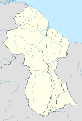
Deutsch: Positionskarte von Guyana
Quadratische Plattkarte. Geographische Begrenzung der Karte:
English: Location map of Guyana
Equirectangular projection. Geographic limits of the map:
|
| ତାରିଖ | 02.12.2008 |
| ମୂଳାଧାର |
own work, using
|
| ଲେଖକ | NordNordWest |
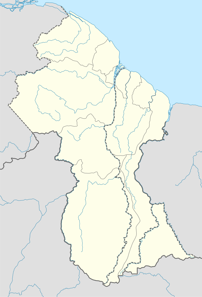
| ଅନ୍ୟ ସଂସ୍କରଣ | Derivative works of this file: Guyana relief location map.jpg |

|
This map has been made or improved in the German Kartenwerkstatt (Map Lab). You can propose maps to improve as well.
|
ସତ୍ଵ
ମୁଁ, ଏହି କାମର ସତ୍ୱାଧିକାରୀ, ଏଠାରେ ତଳଲିଖିତ ଲାଇସେନ୍ସ ଅଧୀନରେ ଏହାକୁ ପ୍ରକାଶ କଲି:

|
ମାଗଣା ସଫ୍ଟବେର ଫାଉଣ୍ଡେସନ ଦେଇ ପ୍ରକାଶିତ କୌଣସି ବଦଳାଇ ନହେବା ଭଳି ଧାରା, ଆଗ ବା ପଛ ପଟ ମଲାଟ ବିନା GNU ଖୋଲା ଦଲିଲକାରଣ ଲାଇସେନ୍ସ ୧.୨ ତମ ସଙ୍କଳନ ବା ଆଉ କୌଣସି ସର୍ତ୍ତାବଳି ଅନୁସାରେ ଏହି ଦଲିଲର ନକଲ, ବଣ୍ଟନ ତଥା/କିମ୍ବା ବଦଳାଇବା ନିମନ୍ତେ ଅନୁମତି ଦିଆଗଲା । GNU ମାଗଣା ଦଲିଲକରଣ ଲାଇସେନ୍ସ ନାମକ ବିଭାଗରେ ଲାଇସେନ୍ସର ନକଲ ଦିଆଯାଇଅଛି । |
ଏହି ଫାଇଲଟି କ୍ରିଏଟିଭ କମନ୍ସ ଅଧୀନରେ ଆଟ୍ରିବୁସନ ସେଆର-ଏଲାଇକ ୩.୦ ଅନପୋର୍ଟେଡ଼ ଲାଇସେନ୍ସରେ ପଞ୍ଜିକରଣ କରାଯାଇଅଛି ।
- ଆପଣ ଆରାମରେ:
- ବାଣ୍ଟିପାରିବେ – କାମଟିକୁ ନକଲ କରିପାରିବେ, ବାଣ୍ଟିପାରିବେ ଓ ପ୍ରସାରଣ କରିପାରିବେ
- ମିଶାଇପାରିବେ – କାମଟି ଅଭିଯୋଜନ କରିପାରିବେ
- ତଳଲିଖିତ ସର୍ତ୍ତାବଳୀ ଅଧୀନରେ:
- ଶ୍ରେୟ – ଆପଣ ମନେ କରି ଏହି କାମର ଆବଶ୍ୟକୀୟ ଶ୍ରେୟ ମୂଳ ଗଢ଼ାଳି ବା ସ୍ୱତ୍ୱାଧୀକାରୀଙ୍କୁ ଦେବେ ଏବଂ ଦେଲାବେଳେ ଲାଇସେନ୍ସର ଲିଙ୍କ ଦେଇ କି କି ବଦଳ କଲେ ଉଲ୍ଲେଖ କରିବେ । ଏହା ଉପଯୁକ୍ତ ଢଙ୍ଗରେ କରିବେ କିନ୍ତୁ ଲାଇସେନ୍ସ ଦେଉଥିବା ବ୍ୟକ୍ତି ଆପଣଙ୍କ ପ୍ରଚାର କଲା ଭଳି କିଛି ଲେଖିବେ ନାହିଁ ।
- ସେଆର ଏଲାଇକ – ଯଦି ଆପଣ ଏହି କାମଟିକୁ ବଦଳାଇବେ, ରୂପାନ୍ତରଣ କରିବେ ବା ଏହାକୁ ନେଇ କିଛି ଗଢ଼ିବେ ତେବେ ଆପଣ ଏହାକୁ ଏକା ବା ଅଲଗା ଲାଇସେନ୍ସ ଭିତରେ ରଖିପାରିବେ ।
ଆପଣ ନିଜ ପସନ୍ଦର ଲାଇସେନ୍ସ ବାଛିପାରିବେ ।
ଫାଇଲ ଇତିହାସ
ଏହା ଫାଇଲଟି ସେତେବେଳେ ଯେମିତି ଦିଶୁଥିଲା ତାହା ଦେଖିବା ପାଇଁ ତାରିଖ/ବେଳା ଉପରେ କ୍ଲିକ କରନ୍ତୁ
| ତାରିଖ/ବେଳ | ନଖ ଦେଖଣା | ଆକାର | ବ୍ୟବହାରକାରୀ | ମତାମତ | |
|---|---|---|---|---|---|
| ଏବେକାର | ୨୨:୩୩, ୧୫ ସେପ୍ଟେମ୍ବର ୨୦୧୭ | | ୧,୨୫୨ × ୧,୮୪୩ (୨୯୩ KB) | Milenioscuro | corrected disputed border with Venezuela |
| ୦୯:୩୯, ୨୮ ସେପ୍ଟେମ୍ବର ୨୦୧୩ |  | ୧,୨୫୨ × ୧,୮୪୩ (୩୪୨ KB) | Unukalhai | Reverted to version as of 04:34, 16 October 2012 | |
| ୧୮:୦୬, ୨୪ ଫେବୃଆରୀ ୨୦୧୩ |  | ୧,୨୫୨ × ୧,୮୪୩ (୩୪୧ KB) | Wester | Reverted to version as of 19:53, 2 December 2008 | |
| ୧୦:୦୪, ୧୬ ଅକ୍ଟୋବର ୨୦୧୨ |  | ୧,୨୫୨ × ୧,୮୪୩ (୩୪୨ KB) | Unukalhai | Including disputed area by Venezuela, the same way wich the surinamese one appears in the map. http://treaties.un.org/pages/showDetails.aspx?objid=080000028012b96f | |
| ୦୧:୨୩, ୩ ଡିସେମ୍ବର ୨୦୦୮ |  | ୧,୨୫୨ × ୧,୮୪୩ (୩୪୧ KB) | NordNordWest | {{Information |Description= {{de|Positionskarte von Guyana}} Quadratische Plattkarte. Geographische Begrenzung der Karte: * N: 8.7° N * S: 0.9° N * W: 61.6° W * O: 56.3° W {{en|Location map of Guyana}} Equirectangular pro |
ଫାଇଲ ବ୍ୟବହାର
ଏହି ସବୁପୃଷ୍ଠା ଏହି ଫାଇଲଟିକୁ ଯୋଡ଼ିଥାନ୍ତି:
ଜଗତ ଫାଇଲ ବ୍ୟବହାର
ତଳଲିଖିତ ଉଇକିସବୁ ଏହି ଫାଇଲଟିକୁ ବ୍ୟବହାର କରିଥାନ୍ତି:
- af.wikipedia.orgରେ ବ୍ୟବହାର
- an.wikipedia.orgରେ ବ୍ୟବହାର
- ar.wikipedia.orgରେ ବ୍ୟବହାର
- ast.wikipedia.orgରେ ବ୍ୟବହାର
- az.wikipedia.orgରେ ବ୍ୟବହାର
- ba.wikipedia.orgରେ ବ୍ୟବହାର
- be-tarask.wikipedia.orgରେ ବ୍ୟବହାର
- be.wikipedia.orgରେ ବ୍ୟବହାର
- bg.wikipedia.orgରେ ବ୍ୟବହାର
- bn.wikipedia.orgରେ ବ୍ୟବହାର
- bs.wikipedia.orgରେ ବ୍ୟବହାର
- ceb.wikipedia.orgରେ ବ୍ୟବହାର
ଏହି ଫାଇଲଟିର ଅଧିକ ବିଶ୍ୱବ୍ୟାପୀ ବ୍ୟବହାର ଦେଖନ୍ତୁ ।